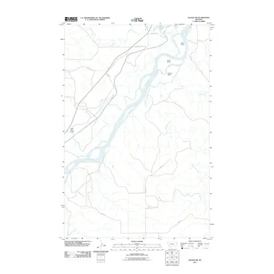
2011 Map of Savage SW
USGS Topo · Published 2011About this map
The Yellowstone River cuts a wide, braided path through this Richland County landscape, defining the geography with shifting channels and named river features. Distinct landforms like Idiom Island, Snake Island, and Chrome Island emerge from the water, while the surrounding plains are etched by numerous drainage systems. Major tributaries including Burns Creek, Cottonwood Creek, and War Dance Creek flow toward the main river valley, creating a network of coulees and breaks.
Find a feature on this map
17 named features on this map. Tap any name to fly to it.
Don’t see what you’re looking for? This feature index may not catch every label — zoom into the map to look around manually.
Map Details
Editions of this 2011 Savage SW Map
This is the sole edition of this map. No revisions or reprints were ever made.
Other maps of this area

1909 · Glendive
USGS Topo · 1:250,000

1954 · Glendive
USGS Topo · 1:250,000

1957 · Glendive
USGS Topo · 1:250,000

1958 · Glendive
USGS Topo · 1:250,000

1966 · Savage
USGS Topo · 1:24,000

1966 · Savage SE
USGS Topo · 1:24,000

1966 · Savage SW
USGS Topo · 1:24,000

1966 · Intake
USGS Topo · 1:24,000

1966 · Knife River Mine
USGS Topo · 1:24,000

1966 · Allard Ranch
USGS Topo · 1:24,000