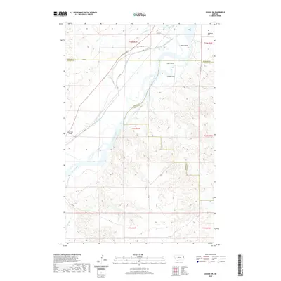
2020 Map of Savage SW
USGS Topo · Published 2020About this map
The Yellowstone River anchors this corner of eastern Montana, where the jurisdictional boundaries of Richland, Dawson, and Wibaux counties converge. The river's path is marked by distinctive mid-stream features including Idiom Island, Snake Island, and Chrome Island. Inland, the agricultural infrastructure of the region is evident through the Main Canal, Canal Rd, and various county routes that navigate the terrain between Burns Lake and Valentine Flat.
Find a feature on this map
29 named features on this map. Tap any name to fly to it.
Don’t see what you’re looking for? This feature index may not catch every label — zoom into the map to look around manually.
Map Details
Editions of this 2020 Savage SW Map
This is the sole edition of this map. No revisions or reprints were ever made.
Other maps of this area

1909 · Glendive
USGS Topo · 1:250,000

1954 · Glendive
USGS Topo · 1:250,000

1957 · Glendive
USGS Topo · 1:250,000

1958 · Glendive
USGS Topo · 1:250,000

1966 · Savage
USGS Topo · 1:24,000

1966 · Savage SE
USGS Topo · 1:24,000

1966 · Savage SW
USGS Topo · 1:24,000

1966 · Intake
USGS Topo · 1:24,000

1966 · Knife River Mine
USGS Topo · 1:24,000

1966 · Allard Ranch
USGS Topo · 1:24,000