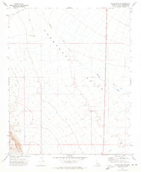
1971 Map of Savahia Peak NW
USGS Topo · Published 1973About this map
Chemehuevi Valley dominates this arid landscape in the early 1970s, defined by the broad drainage of the Chemehuevi Wash and the surrounding desert uplands. The southwestern corner of the map features the rising slopes of the Turtle Mountains, where the dark volcanic rock of the Malpais terrain stands out against the alluvial fans. This survey captures a moment when human infrastructure was limited to a sparse network of service points and primitive tracks.
Find a feature on this map
12 named features on this map. Tap any name to fly to it.
Don’t see what you’re looking for? This feature index may not catch every label — zoom into the map to look around manually.
Map Details
Editions of this 1971 Savahia Peak NW Map
2 editions found
Other maps of this area

1903 · Needles
USGS Topo · 1:125,000

1904 · Needles Special
USGS Topo · 1:125,000

1943 · Center Hills
USGS Topo · 1:62,500

1943 · Turtle Mts.
USGS Topo · 1:62,500

1950 · Sawtooth Range
USGS Topo · 1:62,500

1950 · Savahia Peak
USGS Topo · 1:62,500

1951 · Savahia Peak
USGS Topo · 1:62,500

1951 · Sawtooth Range
USGS Topo · 1:62,500

1954 · Needles
USGS Topo · 1:250,000

1954 · Turtle Mountains
USGS Topo · 1:62,500