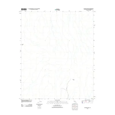
2012 Map of Savahia Peak
USGS Topo · Published 2012About this map
Savahia Peak and Pyramid Butte dominate this arid landscape in San Bernardino County, where the desert floor is etched by an intricate network of ephemeral drainage channels. This 2012 survey by the U.S. Geological Survey highlights a region largely devoid of permanent settlements, emphasizing the stark topography of the Mojave. The only significant human engineering shown is the rugged track of Independence Mine Rd, which snakes through the southeastern corner of the quadrangle. This single road serves as a primary access point for the area's mineral prospects and high desert terrain, illustrating the sparse infrastructure common in this part of California.
Find a feature on this map
3 named features on this map. Tap any name to fly to it.
Don’t see what you’re looking for? This feature index may not catch every label — zoom into the map to look around manually.
Map Details
Editions of this 2012 Savahia Peak Map
This is the sole edition of this map. No revisions or reprints were ever made.
Other maps of this area

1911 · Parker
USGS Topo · 1:125,000

1943 · Whipple Mts.
USGS Topo · 1:62,500

1943 · Parker
USGS Topo · 1:62,500

1943 · Vidal
USGS Topo · 1:62,500

1949 · Parker
USGS Topo · 1:62,500

1949 · Vidal
USGS Topo · 1:62,500

1950 · Parker
USGS Topo · 1:62,500

1950 · Vidal
USGS Topo · 1:62,500

1950 · Whipple Mts
USGS Topo · 1:62,500

1950 · Savahia Peak
USGS Topo · 1:62,500