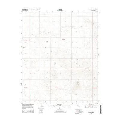
2015 Map of Savahia Peak
USGS Topo · Published 2015About this map
Savahia Peak and the surrounding high desert terrain define this landscape in the southeastern reaches of the Mojave Desert. This 2015 survey by the U.S. Geological Survey illustrates a stark, arid topography dominated by the northern extent of the Whipple Mountains. The map is characterized by intricate contour intervals that reveal the complex drainage patterns and ridgelines of this unpopulated area. To the west, the isolated landform of Pyramid Butte stands as a distinct landmark against the desert floor. The map highlights the Public Land Survey System grid, including townships t3n r23e and t2n r23e, which organize this corner of San Bernardino County into a precise geographic framework despite the absence of formal settlements or major infrastructure.
Find a feature on this map
10 named features on this map. Tap any name to fly to it.
Don’t see what you’re looking for? This feature index may not catch every label — zoom into the map to look around manually.
Map Details
Editions of this 2015 Savahia Peak Map
This is the sole edition of this map. No revisions or reprints were ever made.
Other maps of this area

1911 · Parker
USGS Topo · 1:125,000

1943 · Whipple Mts.
USGS Topo · 1:62,500

1943 · Parker
USGS Topo · 1:62,500

1943 · Vidal
USGS Topo · 1:62,500

1949 · Parker
USGS Topo · 1:62,500

1949 · Vidal
USGS Topo · 1:62,500

1950 · Parker
USGS Topo · 1:62,500

1950 · Vidal
USGS Topo · 1:62,500

1950 · Whipple Mts
USGS Topo · 1:62,500

1950 · Savahia Peak
USGS Topo · 1:62,500