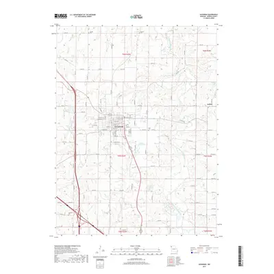
2017 Map of Savannah
USGS Topo · Published 2017About this map
The county seat of Savannah serves as the focal point of this Northwest Missouri landscape, where established street grids meet the winding tributaries of the One Hundred and Two River. The city's geography is defined by its water management and recreational spaces, including the City Reservoir, Ford Lake, and Andrew County Lake. These features, alongside the smaller Kelley Lake, illustrate the transition from traditional agricultural land use to more modern municipal water infrastructure and public parks.
Find a feature on this map
110 named features on this map. Tap any name to fly to it.
Don’t see what you’re looking for? This feature index may not catch every label — zoom into the map to look around manually.
Map Details
Editions of this 2017 Savannah Map
This is the sole edition of this map. No revisions or reprints were ever made.
Other maps of this area

1923 · Clarksdale
USGS Topo · 1:62,500

1924 · St. Joseph
USGS Topo · 1:62,500

1925 · Clarksdale
USGS Topo · 1:62,500

1925 · Stanberry
USGS Topo · 1:62,500

1926 · Saint Joseph
USGS Topo · 1:62,500

1927 · Bolckow
USGS Topo · 1:62,500

1939 · Stanberry
USGS Topo · 1:62,500

1943 · Stanberry
USGS Topo · 1:62,500

1945 · Bolckow
USGS Topo · 1:62,500

1950 · Kansas City
USGS Topo · 1:250,000