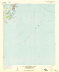
1957 Map of Savannah Beach South
USGS Topo · Published 1959About this map
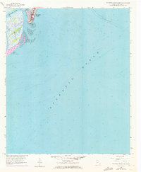
Tybee Island serves as the focal point of this coastal survey, where the developed streets of Savannah Beach meet the shifting sands of the Georgia shoreline. The map documents the southern tip of the island at South End, where the built environment transitions into a complex network of marshes and waterways. Hydrology is a defining characteristic of the landscape, with Tybee Creek and Horse Pen Creek snaking through the western wetlands. Large stretches of Tidal Flat are mapped alongside the vast Atlantic Ocean, illustrating the intersection of residential planning and the dynamic coastal environment of the late 1950s. This edition incorporates 1957 planetable surveys and 1951 aerial photography, providing a precise record of the shoreline and its benchmarks prior to decades of subsequent erosion and development.
Find a feature on this map
8 named features on this map. Tap any name to fly to it.
Don’t see what you’re looking for? This feature index may not catch every label — zoom into the map to look around manually.
Map Details
Editions of this 1957 Savannah Beach South Map
2 editions found
Other maps of this area

1920 · Wassaw Sound
USGS Topo · 1:62,500

1920 · Hilton Head
USGS Topo · 1:62,500

1920 · Bluffton
USGS Topo · 1:62,500

1945 · Bluffton
USGS Topo · 1:62,500

1945 · Hilton Head
USGS Topo · 1:62,500

1945 · Wassaw Sound
USGS Topo · 1:62,500

1946 · Brunswick
USGS Topo · 1:250,000

1947 · Savannah
USGS Topo · 1:250,000

1948 · Brunswick
USGS Topo · 1:250,000

1948 · Savannah
USGS Topo · 1:250,000