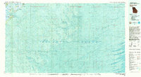
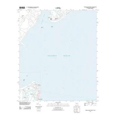
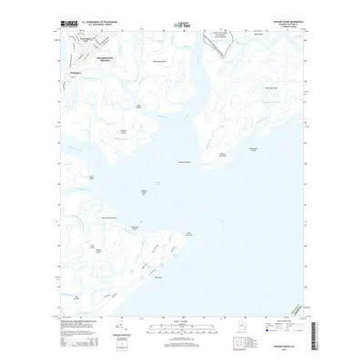
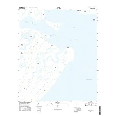
1957 Map of Savannah Beach South
USGS Topo · Published 1972About this map
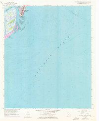
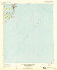
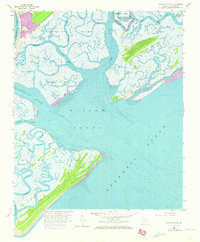
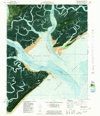
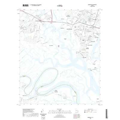
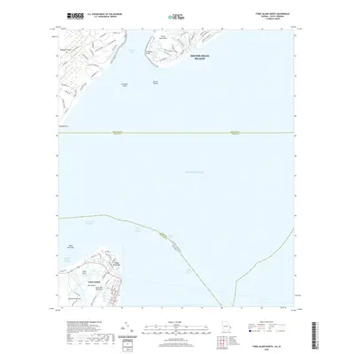
Tybee Island meets the Atlantic Ocean at the mid-century mark in this survey of Georgia's coastline. The coastal community of Savannah Beach is centered at the northern edge of the map, showing the established grid of streets and buildings near the South End of the island. Much of the landscape is defined by the fluid boundary between land and sea, with extensive Tidal Flats and winding waterways like Tybee Creek and Horse Pen Creek dissecting the salt marshes. This edition incorporates bathymetric data from 1957, providing depth soundings and submerged topography that reveal the shifting shoals and underwater character of the Georgia shore before the development of later decades.
Find a feature on this map
7 named features on this map. Tap any name to fly to it.
Don’t see what you’re looking for? This feature index may not catch every label — zoom into the map to look around manually.
Map Details
Editions of this 1957 Savannah Beach South Map
2 editions found
Historical Maps of Tybee Island Through Time
59 maps found

1944 Ossabaw Island
Chatham County, GA

1945 Ossabaw Island
Chatham County, GA
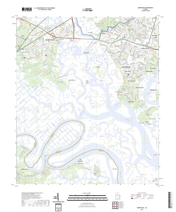
1957 Burroughs
Chatham County, GA
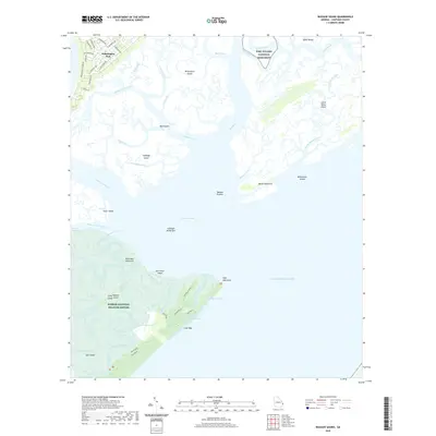
1957 Raccoon Key
Chatham County, GA
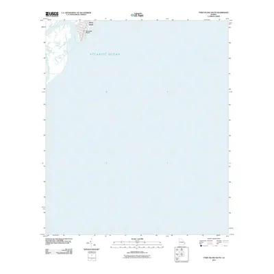
1957 Savannah Beach South
Chatham County, GA
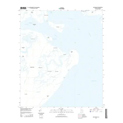
1957 Wassaw Sound
Chatham County, GA
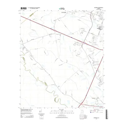
1958 Meldrim SE
Chatham County, GA
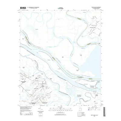
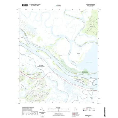
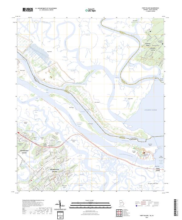
1978 Fort Pulaski
Chatham County, GA
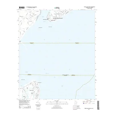
1978 Tybee Island North
Chatham County, GA
1978 Wassaw Sound
Chatham County, GA
1979 Burroughs
Chatham County, GA
1979 Raccoon Key
Chatham County, GA
1979 Tybee Island South
Chatham County, GA
1980 Wassaw Sound
Chatham County, GA
2011 Burroughs
Chatham County, GA
2011 Fort Pulaski
Chatham County, GA
2011 Raccoon Key
Chatham County, GA

2011 Raccoon Key OE S
Chatham County, GA
2011 Tybee Island North
Chatham County, GA
2011 Tybee Island South
Chatham County, GA
2011 Wassaw Sound
Chatham County, GA

2011 Wassaw Sound OE S
Chatham County, GA

2012 Meldrim SE
Chatham County, GA
2014 Burroughs
Chatham County, GA
2014 Fort Pulaski
Chatham County, GA
2014 Meldrim SE
Chatham County, GA
2014 Raccoon Key
Chatham County, GA

2014 Raccoon Key OE S
Chatham County, GA
2014 Tybee Island North
Chatham County, GA

2014 Tybee Island South
Chatham County, GA
2014 Wassaw Sound
Chatham County, GA

2014 Wassaw Sound OE S
Chatham County, GA
2017 Burroughs
Chatham County, GA
2017 Fort Pulaski
Chatham County, GA
2017 Meldrim SE
Chatham County, GA
2017 Raccoon Key
Chatham County, GA

2017 Raccoon Key OE S
Chatham County, GA
2017 Tybee Island North
Chatham County, GA
2017 Tybee Island South
Chatham County, GA
2017 Wassaw Sound
Chatham County, GA

2017 Wassaw Sound OE S
Chatham County, GA
2020 Burroughs
Chatham County, GA
2020 Fort Pulaski
Chatham County, GA
2020 Meldrim SE
Chatham County, GA
2020 Raccoon Key
Chatham County, GA

2020 Raccoon Key OE S
Chatham County, GA
2020 Tybee Island North
Chatham County, GA

2020 Tybee Island South
Chatham County, GA
2020 Wassaw Sound
Chatham County, GA

2020 Wassaw Sound OE S
Chatham County, GA
2024 Burroughs
Chatham County, GA
2024 Fort Pulaski
Chatham County, GA
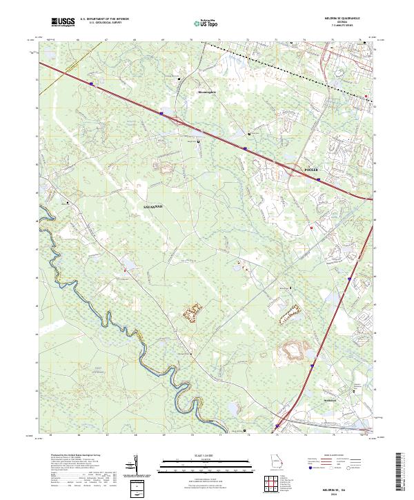
2024 Meldrim SE
Chatham County, GA
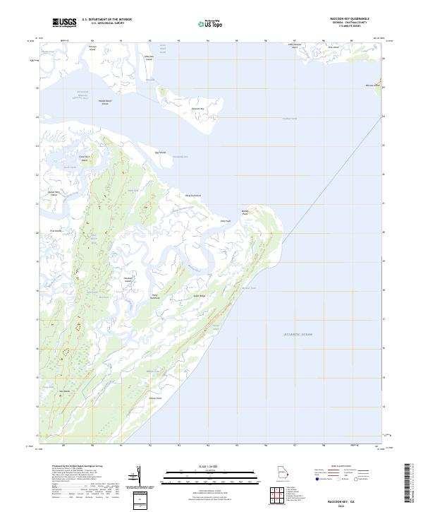
2024 Raccoon Key
Chatham County, GA
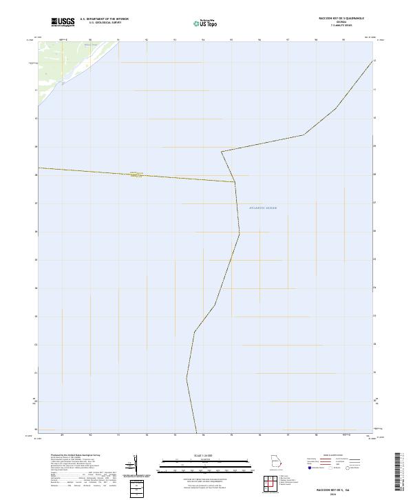
2024 Raccoon Key OE S
Chatham County, GA
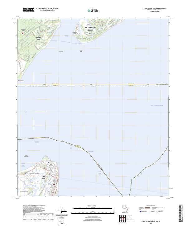
2024 Tybee Island North
Chatham County, GA
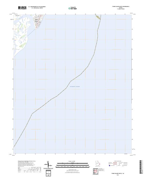
2024 Tybee Island South
Chatham County, GA
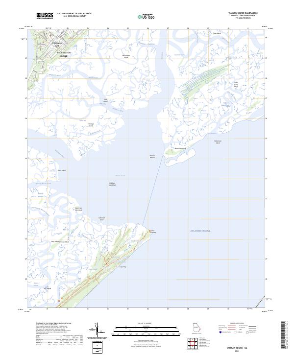
2024 Wassaw Sound
Chatham County, GA
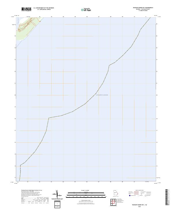
2024 Wassaw Sound OE S
Chatham County, GA