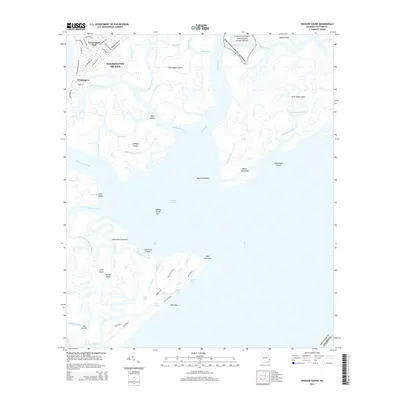
2014 Map of Wassaw Sound
USGS Topo · Published 2014About this map
Wilmington Island and the complex tidal estuaries of the Georgia coast define this survey, capturing a landscape dominated by saltwater marshes and barrier islands. Residential growth is concentrated in the northwest at Wilmington Park and Wilmington, where a network of local streets like Mary Musgrove Dr and Walthour Rd serve the community. To the east and south, the map transitions into a wilderness of waterways including the Bull River, Shad River, and the wide expanse of Wassaw Sound.
Find a feature on this map
69 named features on this map. Tap any name to fly to it.
Don’t see what you’re looking for? This feature index may not catch every label — zoom into the map to look around manually.
Map Details
Editions of this 2014 Wassaw Sound Map
This is the sole edition of this map. No revisions or reprints were ever made.
Other maps of this area

1920 · Wassaw Sound
USGS Topo · 1:62,500

1920 · Bluffton
USGS Topo · 1:62,500

1942 · Savannah
USGS Topo · 1:62,500

1944 · Ossabaw Island
USGS Topo · 1:62,500

1945 · Bluffton
USGS Topo · 1:62,500

1945 · Ossabaw Island
USGS Topo · 1:62,500

1945 · Wassaw Sound
USGS Topo · 1:62,500

1946 · Brunswick
USGS Topo · 1:250,000

1947 · Savannah
USGS Topo · 1:250,000

1948 · Brunswick
USGS Topo · 1:250,000