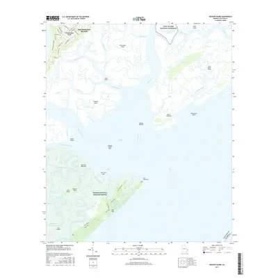
2017 Map of Wassaw Sound
USGS Topo · Published 2017About this map
The coastal marshlands of Chatham County are meticulously detailed here, centered on the complex labyrinth of tidal waterways and islands south of Savannah. Wassaw National Wildlife Refuge dominates the lower portion of the sheet, covering the undeveloped Wassaw Island and its surrounding network of creeks like Blue Bank Creek and Wassaw Creek. To the north, the residential patterns of Wilmington Park on Wilmington Island contrast with the preserved lands of Fort Pulaski National Monument.
Find a feature on this map
74 named features on this map. Tap any name to fly to it.
Don’t see what you’re looking for? This feature index may not catch every label — zoom into the map to look around manually.
Map Details
Editions of this 2017 Wassaw Sound Map
This is the sole edition of this map. No revisions or reprints were ever made.
Other maps of this area

1920 · Wassaw Sound
USGS Topo · 1:62,500

1920 · Bluffton
USGS Topo · 1:62,500

1942 · Savannah
USGS Topo · 1:62,500

1944 · Ossabaw Island
USGS Topo · 1:62,500

1945 · Bluffton
USGS Topo · 1:62,500

1945 · Ossabaw Island
USGS Topo · 1:62,500

1945 · Wassaw Sound
USGS Topo · 1:62,500

1946 · Brunswick
USGS Topo · 1:250,000

1947 · Savannah
USGS Topo · 1:250,000

1948 · Brunswick
USGS Topo · 1:250,000