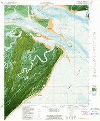
1979 Map of Raccoon Key
USGS Topo · Published 1985About this map
Ossabaw Island dominates this coastal orthophotomap, showing the intricate tidal marshlands and maritime forests of the Georgia coast in the late 1970s. The landscape is defined by a complex network of waterways, including the Ogeechee River and the winding Cabbage Garden River, which carve through the dense vegetation. Small maritime landmarks such as Horse Hammock and Polly Point offer specific points of orientation along the northern reaches of the island.
Find a feature on this map
48 named features on this map. Tap any name to fly to it.
Don’t see what you’re looking for? This feature index may not catch every label — zoom into the map to look around manually.
Map Details
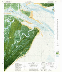
Editions of this 1979 Raccoon Key Map
2 editions found
Other maps of this area

1920 · Wassaw Sound
USGS Topo · 1:62,500

1928 · St Catherines Island
USGS Topo · 1:62,500

1943 · St Catherines Island
USGS Topo · 1:62,500

1944 · Ossabaw Island
USGS Topo · 1:62,500

1945 · St. Catherine's Island
USGS Topo · 1:62,500

1945 · Ossabaw Island
USGS Topo · 1:62,500

1945 · Wassaw Sound
USGS Topo · 1:62,500

1946 · Brunswick
USGS Topo · 1:250,000

1948 · Brunswick
USGS Topo · 1:250,000
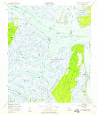
1954 · St Catherines Sound
USGS Topo · 1:24,000