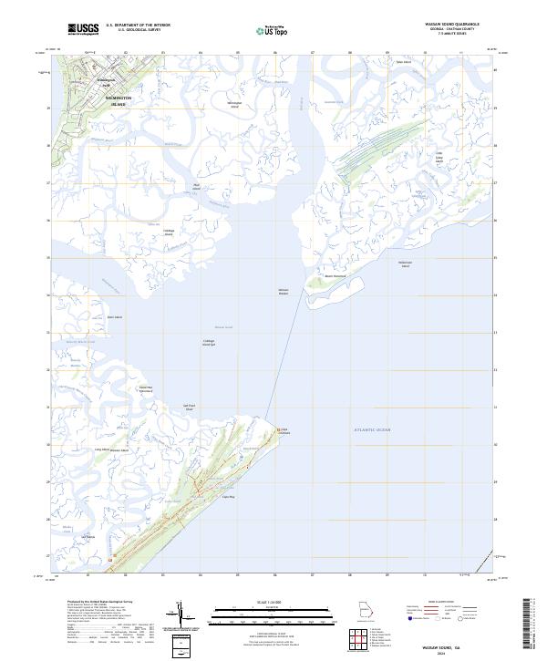
2024 Map of Wassaw Sound
USGS Topo · Published 2024About this map
Fort Pulaski National Monument stands as a sentinel at the northern edge of this coastal survey, overlooking the complex network of tidal creeks and marshes that define the Georgia shoreline. The landscape is dominated by the Wassaw National Wildlife Refuge on Wassaw Island, where a series of inland ponds like Teal Pond and Usher Pond are accessible only by primitive paths such as Main Road Trl. This area illustrates the preserved natural character of the Sea Islands, contrasting with the residential developments of Wilmington Park to the northwest.
Find a feature on this map
64 named features on this map. Tap any name to fly to it.
Don’t see what you’re looking for? This feature index may not catch every label — zoom into the map to look around manually.
Map Details
Editions of this 2024 Wassaw Sound Map
This is the sole edition of this map. No revisions or reprints were ever made.
Other maps of this area

1920 · Wassaw Sound
USGS Topo · 1:62,500

1920 · Bluffton
USGS Topo · 1:62,500

1942 · Savannah
USGS Topo · 1:62,500

1944 · Ossabaw Island
USGS Topo · 1:62,500

1945 · Bluffton
USGS Topo · 1:62,500

1945 · Ossabaw Island
USGS Topo · 1:62,500

1945 · Wassaw Sound
USGS Topo · 1:62,500

1946 · Brunswick
USGS Topo · 1:250,000

1947 · Savannah
USGS Topo · 1:250,000

1948 · Brunswick
USGS Topo · 1:250,000