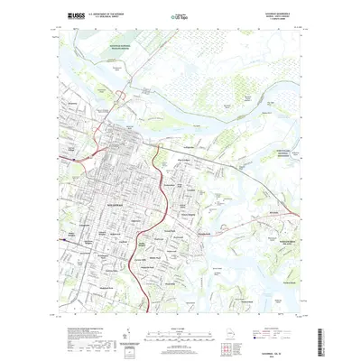
2020 Map of Savannah
USGS Topo · Published 2020About this map
Savannah and its historic harbor front are captured here at the start of the 2020s, showing a landscape defined by its deep coastal roots and institutional growth. The city's legendary layout is anchored by landmarks like Yamacraw Bluff and the Savannah College of Art and Design, while the eastern marshes transition into the Fort Pulaski National Monument at the edge of the Wilmington River. Cultural and local history is deeply legible through numerous burial grounds, from the central Colonial Park Cem to the sprawling Bonaventure Cem and Hillcrest Abbey East Cem. The map illustrates the city’s expansion into diverse residential districts such as Carver Village, Tatnsville, and Bona Bella, juxtaposed against the vast tidal wetlands of the Savannah National Wildlife Refuge to the north and the industrial infrastructure of the Eugene E Talmadge Memorial Bridge.
Find a feature on this map
120 named features on this map. Tap any name to fly to it.
Don’t see what you’re looking for? This feature index may not catch every label — zoom into the map to look around manually.
Map Details
Editions of this 2020 Savannah Map
This is the sole edition of this map. No revisions or reprints were ever made.
Other maps of this area

1920 · Wassaw Sound
USGS Topo · 1:62,500

1920 · Bluffton
USGS Topo · 1:62,500

1942 · Savannah
USGS Topo · 1:62,500

1944 · Ossabaw Island
USGS Topo · 1:62,500

1945 · Bluffton
USGS Topo · 1:62,500

1945 · Ossabaw Island
USGS Topo · 1:62,500

1945 · Wassaw Sound
USGS Topo · 1:62,500

1946 · Brunswick
USGS Topo · 1:250,000

1947 · Savannah
USGS Topo · 1:250,000

1948 · Brunswick
USGS Topo · 1:250,000