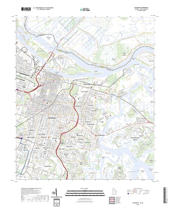
2024 Map of Savannah
USGS Topo · Published 2024About this map
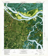
The Savannah riverfront and its historic core are anchored by Yamacraw Bluff and the sprawling campus of the Savannah College of Art and Design. This 2024 landscape reveals a city of distinct neighborhoods, from the historic squares near Colonial Park Cem to established residential areas like Gordonston and Ardsley Park. The industrial and maritime legacy of the Savannah River is evident in the complex waterways surrounding Hutchinson Island and the Wrecks Channel, while the northern reaches of the quadrangle are preserved within the Savannah National Wildlife Refuge.
Find a feature on this map
132 named features on this map. Tap any name to fly to it.
Don’t see what you’re looking for? This feature index may not catch every label — zoom into the map to look around manually.
Map Details
Editions of this 2024 Savannah Map
This is the sole edition of this map. No revisions or reprints were ever made.
Historical Maps of Isle of Armstrong Through Time
10 maps found

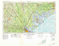
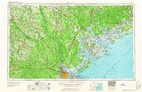
1942 Savannah
Chatham County, GA

1947 Savannah
Chatham County, GA

1948 Savannah
Chatham County, GA
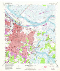
1955 Savannah
Chatham County, GA
1957 Savannah
Chatham County, GA

1960 Savannah
Chatham County, GA
1961 Savannah
Chatham County, GA
1978 Savannah
Chatham County, GA

1981 Savannah
Chatham County, GA
2024 Savannah
Chatham County, GA