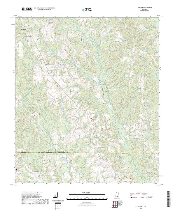
2024 Map of Savannah
USGS Topo · Published 2024About this map
Savannah and Rowlands anchor this landscape along the border of Pearl River Co Hancock Co in southern Mississippi. The terrain is defined by a dense network of drainage systems, including Catahoula Creek, Redfish Creek, and Icigne Creek, which carve through the piney woods. Numerous family-named roads like Savannah Millard Rd, Otis Smith Rd, and McNeill McHenry Rd indicate a legacy of rural landownership and long-standing local homesteads.
Find a feature on this map
84 named features on this map. Tap any name to fly to it.
Don’t see what you’re looking for? This feature index may not catch every label — zoom into the map to look around manually.
Map Details
Editions of this 2024 Savannah Map
This is the sole edition of this map. No revisions or reprints were ever made.
Other maps of this area

1953 · Mobile
USGS Topo · 1:250,000

1955 · Savannah
USGS Topo · 1:62,500

1957 · Mobile
USGS Topo · 1:250,000

1958 · Carnes
USGS Topo · 1:62,500

1958 · Picayune
USGS Topo · 1:62,500

1959 · Poplarville
USGS Topo · 1:62,500

1960 · Mobile
USGS Topo · 1:250,000

1963 · Mobile
USGS Topo · 1:250,000

1965 · Mobile
USGS Topo · 1:250,000
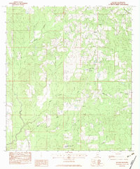
1982 · Necaise
USGS Topo · 1:24,000