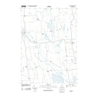
2010 Map of Savannah
USGS Topo · Published 2010About this map
Montezuma Marsh and the Montezuma National Wildlife Reserve dominate the southern half of this landscape, where the Erie Canal Clyde River winds toward the village of Clyde. This corridor was essential to New York transportation, and the map shows the complex network of waterways including Crusoe Creek, Black Creek, and Sodus Creek that define the drainage of Wayne County.
Find a feature on this map
92 named features on this map. Tap any name to fly to it.
Don’t see what you’re looking for? This feature index may not catch every label — zoom into the map to look around manually.
Map Details
Editions of this 2010 Savannah Map
This is the sole edition of this map. No revisions or reprints were ever made.
Other maps of this area

1899 · Auburn
USGS Topo · 1:62,500

1902 · Geneva
USGS Topo · 1:62,500

1902 · Clyde
USGS Topo · 1:62,500

1902 · Weedsport
USGS Topo · 1:62,500

1902 · Auburn
USGS Topo · 1:62,500

1943 · Lyons
USGS Topo · 1:31,680

1943 · Geneva North
USGS Topo · 1:31,680

1943 · Montezuma
USGS Topo · 1:31,680

1943 · Cayuga
USGS Topo · 1:31,680

1943 · Savannah
USGS Topo · 1:31,680