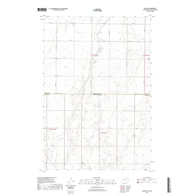
2017 Map of Savo NW
USGS Topo · Published 2017About this map
The Maple River meanders southward through this rural borderland, crossing the state line between North Dakota and South Dakota. This 2017 survey shows a landscape dominated by the Rectangular Survey System, where the section lines of t129n r62w and t128n r63w dictate the movement of local traffic along gravel roads and section-line trails. The terrain is largely defined by numerous small depressions and wetlands scattered across the prairie, with Cannon Hill providing one of the few named topographic elevations in the northeast. Transportation is maintained through a network of rural routes such as Co Rd 8 and Co Rd 14, which connect isolated farmsteads. The boundary between Dickey County and Brown County is clearly delineated where it coincides with the state line, illustrating the rigid administrative geography of the Great Plains.
Find a feature on this map
30 named features on this map. Tap any name to fly to it.
Don’t see what you’re looking for? This feature index may not catch every label — zoom into the map to look around manually.
Map Details
Editions of this 2017 Savo NW Map
This is the sole edition of this map. No revisions or reprints were ever made.
Other maps of this area

1894 · Monango
USGS Topo · 1:62,500

1894 · Ellendale
USGS Topo · 1:62,500

1894 · Savo
USGS Topo · 1:62,500

1894 · Fullerton
USGS Topo · 1:62,500

1895 · Lamoure
USGS Topo · 1:125,000

1896 · Columbia
USGS Topo · 1:125,000

1896 · Edgeley
USGS Topo · 1:125,000

1899 · Ellendale
USGS Topo · 1:125,000

1918 · La Moure
USGS Topo · 1:125,000

1925 · Edgeley
USGS Topo · 1:125,000