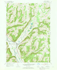
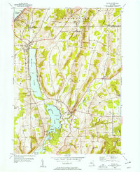
1953 Map of Savona
USGS Topo · Published 1969About this map
The Cohocton River valley serves as the central artery for this mid-century survey of Steuben County, where the village of Savona sits at a critical junction of water and rail. The landscape is defined by its deep connectivity, as the Erie and Western RR and the Delaware Lackawanna and Western RR parallel the river through the basin. These transportation corridors link the small settlements of Sonora and South Bradford to the wider region. Beyond the valley floor, the terrain rises sharply into named peaks like Mt Washington and Irish Hill. Family and community history is preserved in numerous rural burying grounds, including Riverside Cem and Seamans Cem, while a string of natural water bodies like Sanford Lake and Van Keuren Lake dot the lowlands between the hills.
Find a feature on this map
33 named features on this map. Tap any name to fly to it.
Don’t see what you’re looking for? This feature index may not catch every label — zoom into the map to look around manually.
Map Details
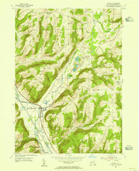
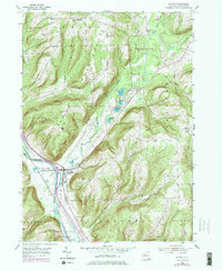
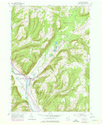
Editions of this 1953 Savona Map
4 editions found
Other maps of this area

1903 · Hammondsport
USGS Topo · 1:62,500

1910 · Bath
USGS Topo · 1:62,500

1914 · Corning
USGS Topo · 1:62,500

1924 · Woodhull
USGS Topo · 1:48,000

1926 · Woodhull
USGS Topo · 1:62,500

1944 · Woodhull
USGS Topo · 1:62,500

1944 · Corning
USGS Topo · 1:62,500

1950 · Elmira
USGS Topo · 1:250,000
1953 · Wayne
USGS Topo · 1:24,000

1953 · Campbell
USGS Topo · 1:24,000