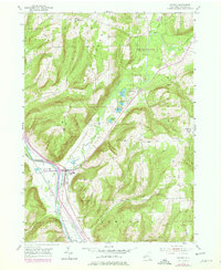
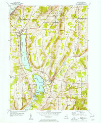
1953 Map of Savona
USGS Topo · Published 1978About this map
Savona serves as the primary hub of this Steuben County landscape, situated where the Cohocton River valley meets the industrial corridor of the Conrail line. The map reflects a mid-century period of transition, with extensive Reforestation Areas reclaiming much of the higher terrain surrounding Mt Washington and Irish Hill. This shift from active agriculture back to timberland is punctuated by the survival of small rural centers like Sonora and South Bradford. Genealogists will find a high density of rural burial grounds, including the Mt Washington Cem and Seamans Cem, which mark the original settlement patterns of the hilltop farms. Along the valley floor, the interplay between the river and the Mud Creek drainage highlights a complex system of small lakes, such as Sanford Lake and Round Lake, which have long defined the local topography.
Find a feature on this map
37 named features on this map. Tap any name to fly to it.
Don’t see what you’re looking for? This feature index may not catch every label — zoom into the map to look around manually.
Map Details
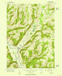
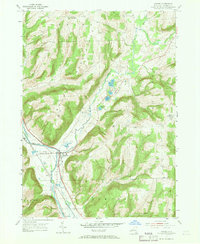
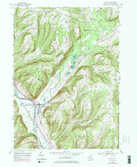
Editions of this 1953 Savona Map
4 editions found
Other maps of this area

1903 · Hammondsport
USGS Topo · 1:62,500

1910 · Bath
USGS Topo · 1:62,500

1914 · Corning
USGS Topo · 1:62,500

1924 · Woodhull
USGS Topo · 1:48,000

1926 · Woodhull
USGS Topo · 1:62,500

1944 · Woodhull
USGS Topo · 1:62,500

1944 · Corning
USGS Topo · 1:62,500

1950 · Elmira
USGS Topo · 1:250,000
1953 · Wayne
USGS Topo · 1:24,000

1953 · Campbell
USGS Topo · 1:24,000