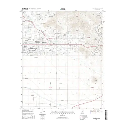
2014 Map of Sawik Mountain
USGS Topo · Published 2014About this map
Taliesin West sits at the foot of the McDowell Mountains, serving as a cultural and architectural focal point in this 2014 landscape. The map shows the suburban expansion of Scottsdale and Fountain Hills, where residential developments like Mirador Scottsdale Ranch and Shiloh Canyon meet the desert's edge. Infrastructure is a dominant theme, with the Central Arizona Project Aqueduct and the Arizona Canal cutting through the arid terrain to support the growing metropolitan area.
Find a feature on this map
41 named features on this map. Tap any name to fly to it.
Don’t see what you’re looking for? This feature index may not catch every label — zoom into the map to look around manually.
Map Details
Editions of this 2014 Sawik Mountain Map
This is the sole edition of this map. No revisions or reprints were ever made.
Other maps of this area

1904 · Camelback
USGS Topo · 1:62,500

1904 · Desert Well
USGS Topo · 1:62,500

1904 · Ft. McDowell
USGS Topo · 1:62,500

1906 · Camelsback
USGS Topo · 1:62,500

1906 · Ft. McDowell
USGS Topo · 1:62,500

1906 · Desert Well
USGS Topo · 1:62,500

1913 · Mesa
USGS Topo · 1:62,500

1915 · Mesa
USGS Topo · 1:62,500

1930 · Cave Creek
USGS Topo · 1:125,000

1939 · Cave Creek
USGS Topo · 1:125,000