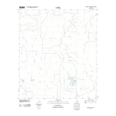
2010 Map of Sawmill Branch
USGS Topo · Published 2010About this map
Lake Sheridan and the adjacent Crooked Creek Lake form a central hydrological focus in this portion of Colorado County. The landscape is defined by an intricate network of drainage systems, including the namesake Sawmill Branch, as well as Big Sandy Branch and West Sandy Creek. These waterways dictate the local geography, with various forks and branches like West Fork Middle Sandy Creek and East Fork Middle Sandy Creek carving through the terrain.
Find a feature on this map
43 named features on this map. Tap any name to fly to it.
Don’t see what you’re looking for? This feature index may not catch every label — zoom into the map to look around manually.
Map Details
Editions of this 2010 Sawmill Branch Map
This is the sole edition of this map. No revisions or reprints were ever made.
Other maps of this area

1919 · Schulenburg
USGS Topo · 1:62,500

1953 · Seguin
USGS Topo · 1:250,000

1956 · Glidden
USGS Topo · 1:62,500

1957 · Columbus
USGS Topo · 1:24,000

1957 · Borden
USGS Topo · 1:24,000

1958 · Seguin
USGS Topo · 1:250,000

1962 · Sublime
USGS Topo · 1:24,000

1965 · Oakland
USGS Topo · 1:24,000

1965 · Sawmill Branch
USGS Topo · 1:24,000

1965 · Rock Island
USGS Topo · 1:24,000