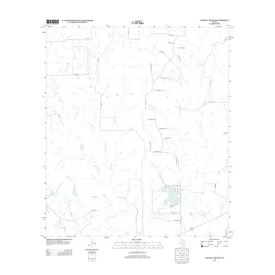
2013 Map of Sawmill Branch
USGS Topo · Published 2013About this map
Crooked Cr Lake sits at the heart of a complex drainage network in Colorado County, where numerous tributaries converge to feed the region's larger river systems. The landscape is defined by the branching waters of W Fork Middle Sandy Cr and E Fork Middle Sandy Cr, which meet near the southern edge of the survey. This 2013 study shows a quiet, rural environment transitioning into small residential pockets along roads such as Wagon Wheel Dr and E Branding Iron. Further west, the terrain is marked by named bodies of water including Stockton Lake and Scott Lake, alongside small seasonal streams like Sawmill Br and Alligator Br. The intricate naming of these small branches suggests a history of local land use tied closely to the specific creeks and forks that define property and community boundaries.
Find a feature on this map
54 named features on this map. Tap any name to fly to it.
Don’t see what you’re looking for? This feature index may not catch every label — zoom into the map to look around manually.
Map Details
Editions of this 2013 Sawmill Branch Map
This is the sole edition of this map. No revisions or reprints were ever made.
Other maps of this area

1919 · Schulenburg
USGS Topo · 1:62,500

1953 · Seguin
USGS Topo · 1:250,000

1956 · Glidden
USGS Topo · 1:62,500

1957 · Columbus
USGS Topo · 1:24,000

1957 · Borden
USGS Topo · 1:24,000

1958 · Seguin
USGS Topo · 1:250,000

1962 · Sublime
USGS Topo · 1:24,000

1965 · Oakland
USGS Topo · 1:24,000

1965 · Sawmill Branch
USGS Topo · 1:24,000

1965 · Rock Island
USGS Topo · 1:24,000