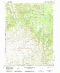
1966 Map of Sawmill Mountain
USGS Topo · Published 1988About this map
The White River National Forest dominates this Rio Blanco County landscape, defined by high-elevation drainage systems and industrial exploration. Resource extraction is evident through scattered mines, prospects, and a series of drill holes that dot the slopes of Sawmill Mountain. A complex network of waterways, including Coal Creek, Sawmill Creek, and Little Beaver Creek, carves through the terrain, while the Feeder Ditch suggests early efforts at water management. In the southern portion, the Oak Ridge State Wildlife Area marks a shift toward conservation and habitat management. Local access is primarily via narrow routes like the Sleepy Cat Trail and various jeep trails, which connect points of interest such as Allen Pack and the secluded clearing of Hay Park. The map records a transition in land use from mineral prospecting toward forest and wildlife stewardship.
Find a feature on this map
24 named features on this map. Tap any name to fly to it.
Don’t see what you’re looking for? This feature index may not catch every label — zoom into the map to look around manually.
Map Details
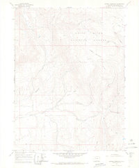
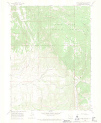
Editions of this 1966 Sawmill Mountain Map
3 editions found
Other maps of this area

1906 · Grand Hogback
USGS Topo · 1:125,000

1910 · Danforth Hills
USGS Topo · 1:125,000

1910 · Grand Hogback
USGS Topo · 1:125,000

1912 · Meeker
USGS Topo · 1:62,500

1914 · Meeker
USGS Topo · 1:62,500

1954 · Craig
USGS Topo · 1:250,000

1957 · Craig
USGS Topo · 1:250,000

1957 · Leadville
USGS Topo · 1:250,000

1958 · Craig
USGS Topo · 1:250,000

1959 · Leadville
USGS Topo · 1:250,000