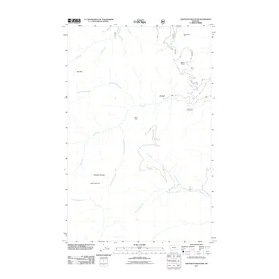
2011 Map of Sawtooth Mountain
USGS Topo · Published 2011About this map
Stanley Creek Mine sits in the high drainages of Lincoln County, marking a site of industrial interest within a landscape dominated by dramatic summits and deep creek valleys. The drainage system is highly branched, defined by the convergence of the North Fork Ross Creek and South Fork Ross Creek into the main stem of Ross Creek. These waters flow beneath prominent landmarks like Mount Vernon and Ross Point, where the terrain drops sharply toward the valley floors.
Find a feature on this map
18 named features on this map. Tap any name to fly to it.
Don’t see what you’re looking for? This feature index may not catch every label — zoom into the map to look around manually.
Map Details
Editions of this 2011 Sawtooth Mountain Map
This is the sole edition of this map. No revisions or reprints were ever made.
Other maps of this area

1911 · Priest Lake
USGS Topo · 1:250,000

1913 · Priest Lake
USGS Topo · 1:250,000

1920 · Libby
USGS Topo · 1:125,000

1930 · Libby
USGS Topo · 1:125,000

1932 · Libby
USGS Topo · 1:125,000

1951 · Clark Fork
USGS Topo · 1:62,500

1951 · Mt Pend Oreille
USGS Topo · 1:62,500

1957 · Kalispell
USGS Topo · 1:250,000

1958 · Sandpoint
USGS Topo · 1:250,000

1960 · Kalispell
USGS Topo · 1:250,000