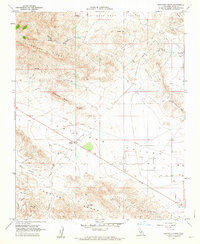
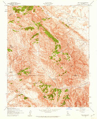
1961 Map of Sawtooth Ridge
USGS Topo · Published 1962About this map
Sunflower Valley and Antelope Valley dominate this early 1960s landscape, where the flat basin floors meet the rising elevations of the Temblor Range and Shale Hills. The area is defined by its industrial activity and sparse water sources, centered on the Devils Den Oil Field and the small settlement at Keeks Corner. Movement through this arid terrain is facilitated by Kecks Road and numerous Jeep Trails that navigate the ridges of Bluestone Ridge and Sawtooth Ridge.
Find a feature on this map
28 named features on this map. Tap any name to fly to it.
Don’t see what you’re looking for? This feature index may not catch every label — zoom into the map to look around manually.
Map Details
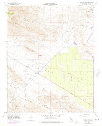
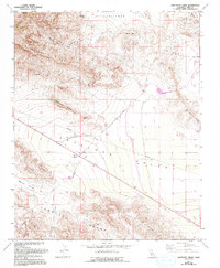
Editions of this 1961 Sawtooth Ridge Map
3 editions found
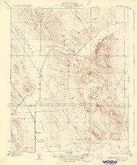
Other maps of this area

1914 · Lost Hills
USGS Topo · 1:125,000

1914 · Cholame
USGS Topo · 1:125,000

1915 · Cholame
USGS Topo · 1:125,000

1917 · Cholame
USGS Topo · 1:125,000

1930 · Avenal Gap
USGS Topo · 1:31,680
1933 · Avenal Gap
USGS Topo · 1:31,680
1942 · Tent Hills
USGS Topo · 1:24,000
1943 · Packwood
USGS Topo · 1:31,680

1943 · Grant Lake
USGS Topo · 1:31,680

1943 · Tent Hills
USGS Topo · 1:31,680