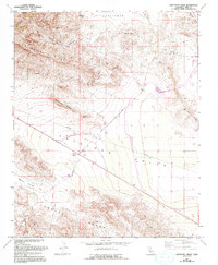
1961 Map of Sawtooth Ridge
USGS Topo · Published 1994About this map
White City and the crossroads at Kecks Corner sit at the transition between the rugged Temblor Range and the broad flats of Antelope Valley. This 1994 revision, based on earlier surveys and late-1980s aerial data, highlights the industrial character of northwestern Kern County. The map documents an active extraction landscape, featuring an extensive Oil Field tucked into the Devils Den Hills and an Open Pit Mine near a prominent Canal.
Find a feature on this map
27 named features on this map. Tap any name to fly to it.
Don’t see what you’re looking for? This feature index may not catch every label — zoom into the map to look around manually.
Map Details
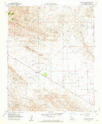
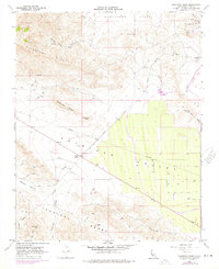
Editions of this 1961 Sawtooth Ridge Map
3 editions found
Other maps of this area

1914 · Lost Hills
USGS Topo · 1:125,000

1914 · Cholame
USGS Topo · 1:125,000

1915 · Cholame
USGS Topo · 1:125,000

1917 · Cholame
USGS Topo · 1:125,000

1930 · Avenal Gap
USGS Topo · 1:31,680

1933 · Avenal Gap
USGS Topo · 1:31,680

1942 · Tent Hills
USGS Topo · 1:24,000

1943 · Packwood
USGS Topo · 1:31,680

1943 · Grant Lake
USGS Topo · 1:31,680
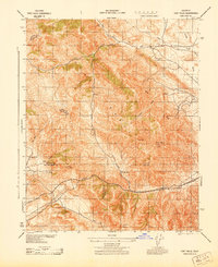
1943 · Tent Hills
USGS Topo · 1:31,680