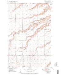
1950 Map of Sawyer SW
USGS Topo · Published 1950About this map
Blackwater Coulee and Burkley Coulee dominate the topography of this Ward County landscape, carved into the high plains south of the Souris R. Mapped as part of the Missouri River Basin development program, this 1950 edition captures the agrarian rhythm of the mid-century Midwest. The townships of Willis, New Prairie, and Newman are organized around a network of numbered country schools, including School No 2 and School No 5.
Find a feature on this map
20 named features on this map. Tap any name to fly to it.
Don’t see what you’re looking for? This feature index may not catch every label — zoom into the map to look around manually.
Map Details
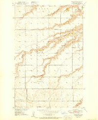
Editions of this 1950 Sawyer SW Map
2 editions found
Other maps of this area

1928 · Minot
USGS Topo · 1:62,500

1929 · Sawyer
USGS Topo · 1:62,500

1929 · Benedict
USGS Topo · 1:62,500

1948 · Sawyer
USGS Topo · 1:24,000

1948 · Surrey
USGS Topo · 1:24,000

1949 · Sawyer
USGS Topo · 1:24,000

1949 · Sawyer NE
USGS Topo · 1:24,000

1949 · Surrey
USGS Topo · 1:24,000

1949 · Minot
USGS Topo · 1:24,000

1949 · Sawyer
USGS Topo · 1:62,500