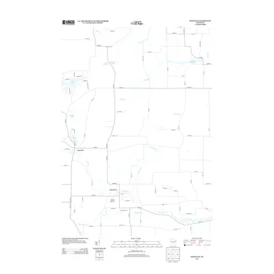
2013 Map of Saxeville
USGS Topo · Published 2013About this map
The Pine River flows through this central Wisconsin landscape, serving as a focal point for the small settlements of Saxeville and the village of Pine River. This 2013 survey illustrates a rural community defined by its waterways and agricultural tracts, notably the Sorenson Hillview Jersey Farm south of the village. The terrain is dotted with numerous small bodies of water including Long Lake, Baitenger Lake, and the adjacent Little Cedar Lake and Big Cedar Lake. A network of creeks, such as Magdanz Cr and Austin Cr, feed into the larger river system, while Clarks Millpond 25 suggests the area's history of water-powered industry. The map captures the interface of established homesteads and natural drainage patterns, providing a clear view of the county highway system connecting these isolated agricultural pockets.
Find a feature on this map
72 named features on this map. Tap any name to fly to it.
Don’t see what you’re looking for? This feature index may not catch every label — zoom into the map to look around manually.
Map Details
Editions of this 2013 Saxeville Map
This is the sole edition of this map. No revisions or reprints were ever made.
Other maps of this area

1955 · Green Bay
USGS Topo · 1:250,000

1956 · Weyauwega
USGS Topo · 1:48,000

1957 · Waupaca
USGS Topo · 1:48,000

1961 · Poy Sippi
USGS Topo · 1:62,500

1961 · Redgranite
USGS Topo · 1:62,500

1961 · Saxeville
USGS Topo · 1:24,000

1961 · Wild Rose
USGS Topo · 1:24,000
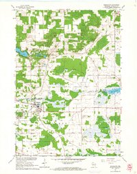
1961 · Redgranite
USGS Topo · 1:24,000
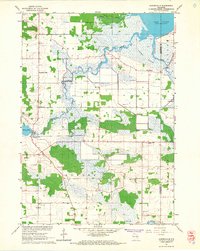
1961 · Auroraville
USGS Topo · 1:24,000

1961 · Spring Lake
USGS Topo · 1:24,000