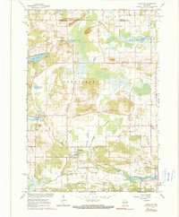
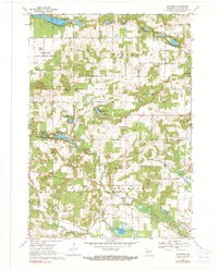
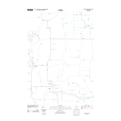
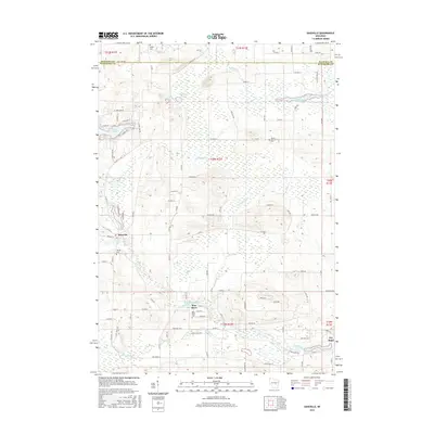
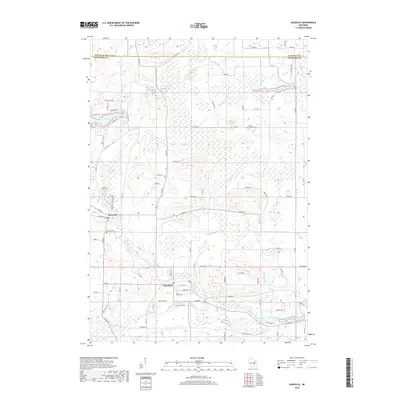
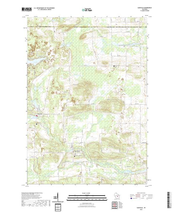
1961 Map of Saxeville
USGS Topo · Published 1990About this map
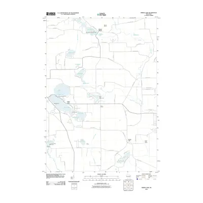
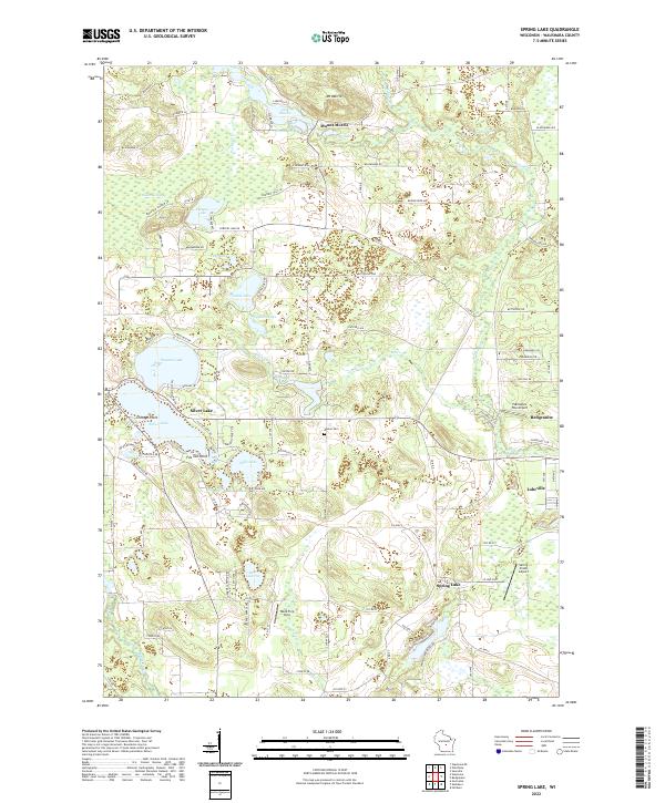
Saxeville and the surrounding central Wisconsin landscape appear here during the early 1960s, defined by a network of small lakes and glacial waterways. The topography is marked by a significant number of extraction sites, with numerous Gravel Pits and a Gravel Pit scattered across the township, reflecting the local importance of aggregate mining in this glaciated region. Water dominates the landscape, from the prominent Mill Pond and Big Cedar Lake to the winding course of the Pine River and Carpenter Creek.
Find a feature on this map
26 named features on this map. Tap any name to fly to it.
Don’t see what you’re looking for? This feature index may not catch every label — zoom into the map to look around manually.
Map Details
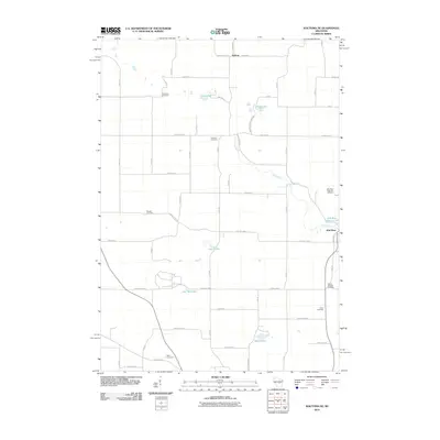
Editions of this 1961 Saxeville Map
2 editions found
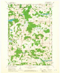
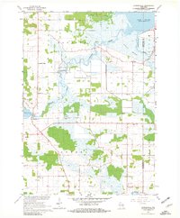
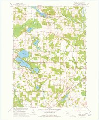
Historical Maps of Dayton Through Time
29 maps found
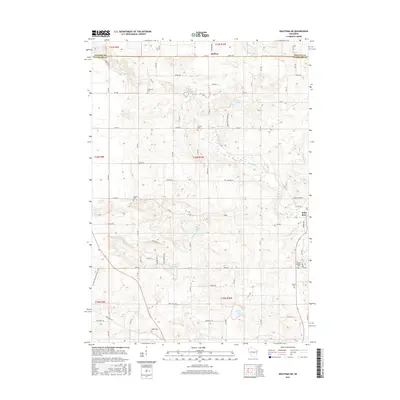
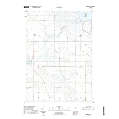
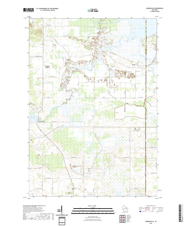
1961 Auroraville
Waushara County, WI
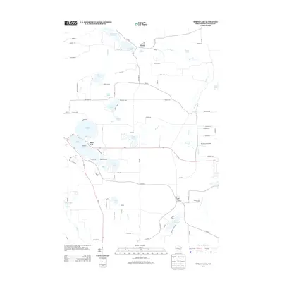
1961 Saxeville
Waushara County, WI
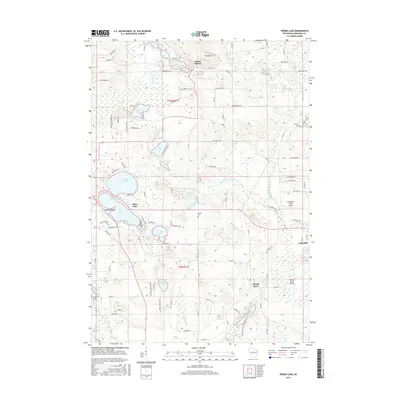
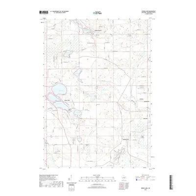
1961 Spring Lake
Waushara County, WI
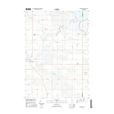
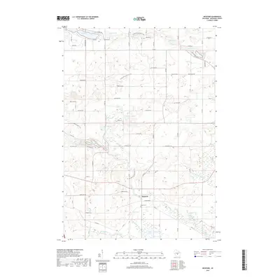
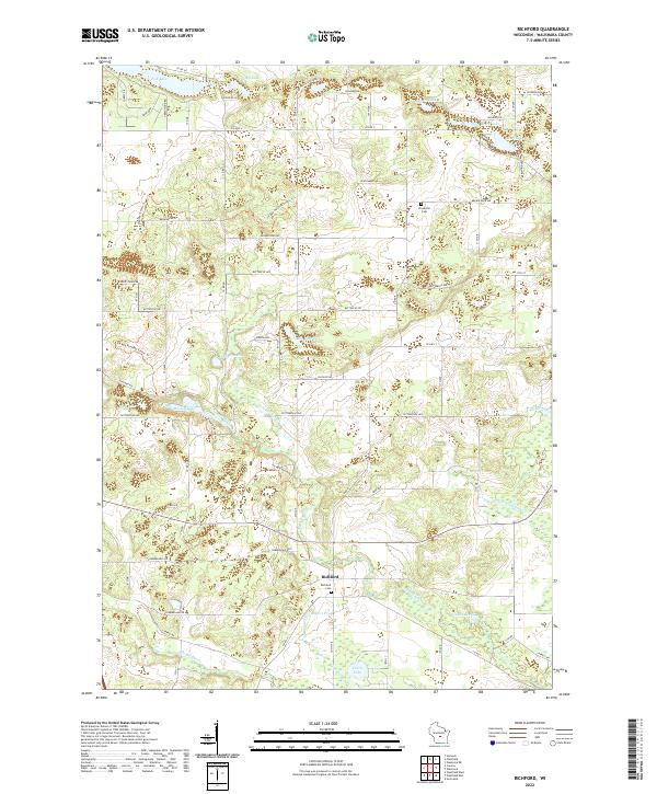
1968 Richford
Waushara County, WI
2010 Auroraville
Waushara County, WI
2010 Richford
Waushara County, WI
2010 Saxeville
Waushara County, WI
2010 Spring Lake
Waushara County, WI
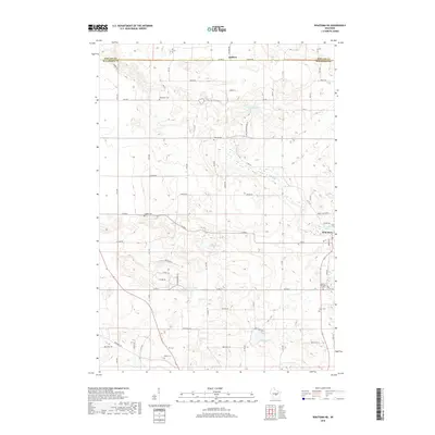
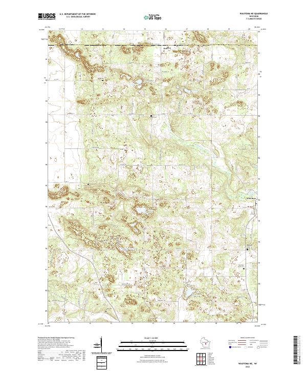
2010 Wautoma NE
Waushara County, WI
2013 Auroraville
Waushara County, WI
2013 Richford
Waushara County, WI
2013 Saxeville
Waushara County, WI
2013 Spring Lake
Waushara County, WI
2013 Wautoma NE
Waushara County, WI
2015 Richford
Waushara County, WI
2015 Saxeville
Waushara County, WI
2015 Spring Lake
Waushara County, WI
2015 Wautoma NE
Waushara County, WI
2016 Auroraville
Waushara County, WI
2018 Auroraville
Waushara County, WI
2018 Richford
Waushara County, WI
2018 Saxeville
Waushara County, WI
2018 Spring Lake
Waushara County, WI
2018 Wautoma NE
Waushara County, WI
2022 Auroraville
Waushara County, WI
2022 Richford
Waushara County, WI
2022 Saxeville
Waushara County, WI
2022 Spring Lake
Waushara County, WI
2022 Wautoma NE
Waushara County, WI