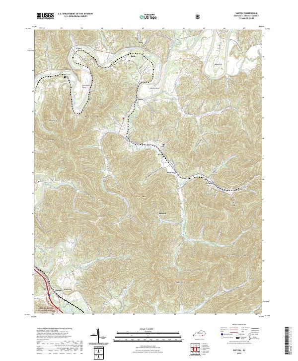
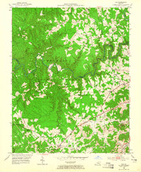
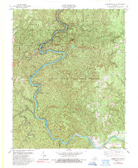
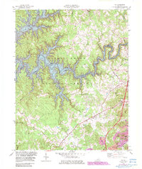
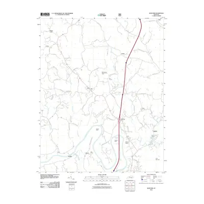
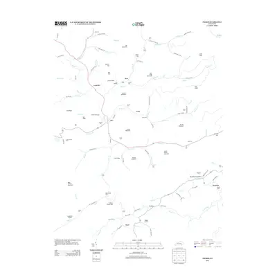
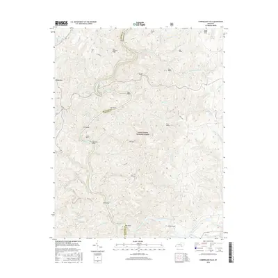
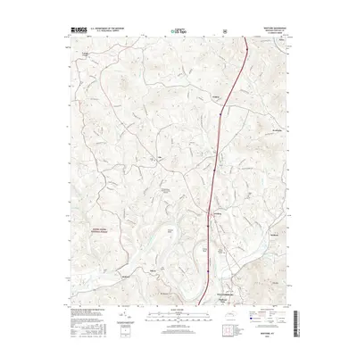
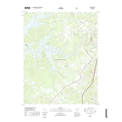
2022 Map of Saxton
USGS Topo · Published 2022About this map
The Cumberland River carves a winding path through this Whitley County landscape, creating dramatic bends such as Horseshoe Bend, Maiden Bend, and Boyd Bend. The terrain is defined by a series of named ridges and peaks, including Patterson Mtn and Taylor Mtn, which overlook a network of hollows and small settlements. The area south of the river is marked by industrial and residential history in places like Gatliff, Nevisdale, and the former mining town of Packard.
Find a feature on this map
104 named features on this map. Tap any name to fly to it.
Don’t see what you’re looking for? This feature index may not catch every label — zoom into the map to look around manually.
Map Details
Editions of this 2022 Saxton Map
This is the sole edition of this map. No revisions or reprints were ever made.
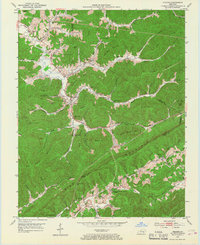
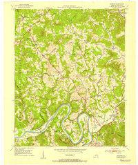
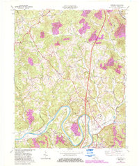
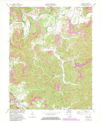
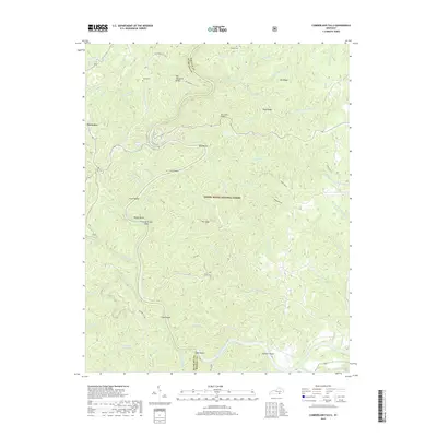
Historical Maps of Gatliff Through Time
34 maps found
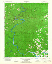
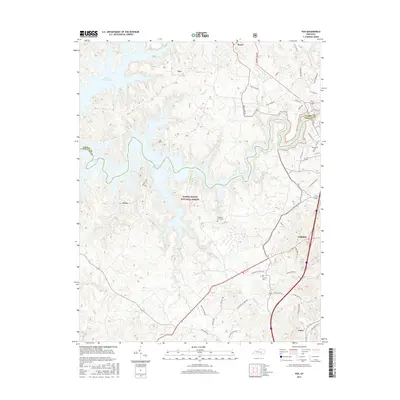
1952 Cumberland Falls
Whitley County, KY
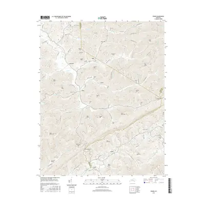
1952 Frakes
Whitley County, KY
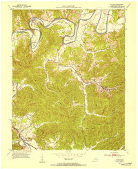
1952 Saxton
Whitley County, KY
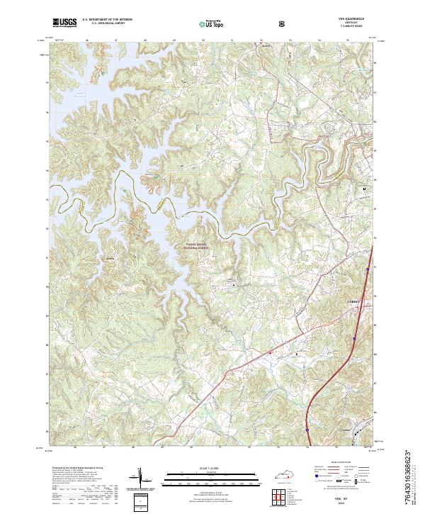
1952 Vox
Whitley County, KY
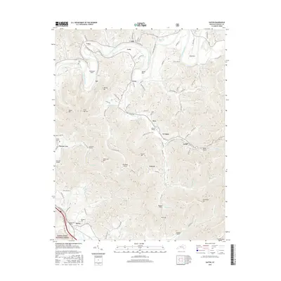
1952 Wofford
Whitley County, KY
1969 Wofford
Whitley County, KY
1970 Saxton
Whitley County, KY
1979 Cumberland Falls
Whitley County, KY
1979 Vox
Whitley County, KY
2010 Cumberland Falls
Whitley County, KY
2010 Frakes
Whitley County, KY
2010 Wofford
Whitley County, KY
2011 Saxton
Whitley County, KY
2011 Vox
Whitley County, KY
2013 Cumberland Falls
Whitley County, KY
2013 Frakes
Whitley County, KY
2013 Saxton
Whitley County, KY
2013 Vox
Whitley County, KY
2013 Wofford
Whitley County, KY
2016 Cumberland Falls
Whitley County, KY
2016 Frakes
Whitley County, KY
2016 Saxton
Whitley County, KY
2016 Vox
Whitley County, KY
2016 Wofford
Whitley County, KY
2019 Cumberland Falls
Whitley County, KY
2019 Frakes
Whitley County, KY
2019 Saxton
Whitley County, KY
2019 Vox
Whitley County, KY
2019 Wofford
Whitley County, KY
2022 Cumberland Falls
Whitley County, KY
2022 Frakes
Whitley County, KY
2022 Saxton
Whitley County, KY
2022 Vox
Whitley County, KY
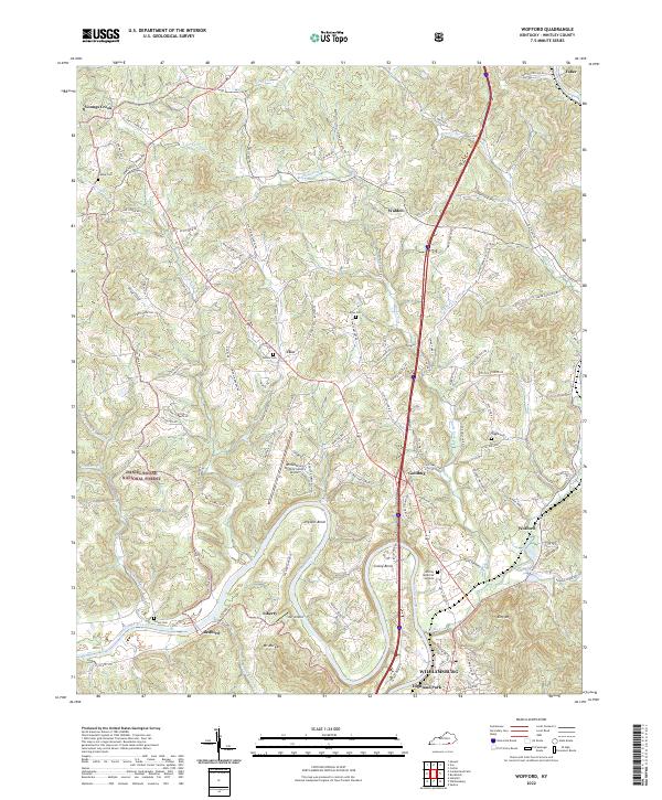
2022 Wofford
Whitley County, KY