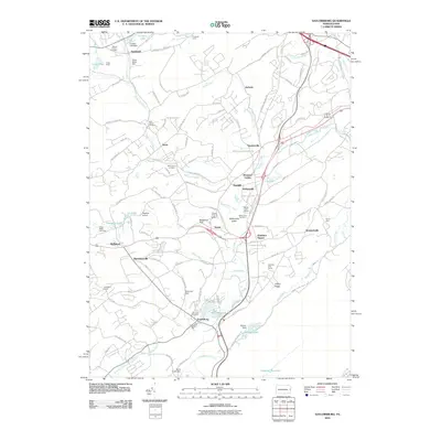
2010 Map of Saylorsburg
USGS Topo · Published 2010About this map
Saylorsburg and the surrounding Monroe County settlements are defined by a network of creeks and small glacial features at the turn of the 21st century. The landscape is marked by the prominent Kellersville Esker, which runs near Kellersville and the Mount Zion Cemetery. This map captures a transition toward residential and recreational use, with established communities like Sciota, Snydersville, and Bossardsville interspersed with seasonal facilities such as Camp Akiba and Pinemere Camp.
Find a feature on this map
119 named features on this map. Tap any name to fly to it.
Don’t see what you’re looking for? This feature index may not catch every label — zoom into the map to look around manually.
Map Details
Editions of this 2010 Saylorsburg Map
This is the sole edition of this map. No revisions or reprints were ever made.
Other maps of this area

1891 · Delaware Water Gap
USGS Topo · 1:62,500

1893 · Delaware Water Gap
USGS Topo · 1:62,500

1914 · Wind Gap
USGS Topo · 1:62,500

1916 · Wind Gap
USGS Topo · 1:62,500

1919 · Pocono
USGS Topo · 1:62,500

1921 · Pocono
USGS Topo · 1:62,500

1923 · Pocono
USGS Topo · 1:62,500

1924 · Bushkill
USGS Topo · 1:48,000

1936 · Delaware Water Gap
USGS Topo · 1:48,000

1941 · Delaware Water Gap
USGS Topo · 1:62,500
Featured Places
- Stroud Township, PA
- Pocono Township, PA
- Plainfield Township, PA
- Hamilton Township, PA
- Jackson Township, PA