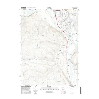
2016 Map of Sayre
USGS Topo · Published 2016About this map
The Chemung River and Susquehanna River converge at Tioga Point, a prominent geographical feature that defines the local landscape between the Pennsylvania and New York border. This modern topographic survey highlights the dense urban development of Sayre, Waverly, and Athens, showcasing the intricate street grids and the Norfolk Southern rail corridor that has long served this industrial heartland. The river valley is flanked by significant terrain features like Spanish Hill and the broad Queen Esther Flats, providing context for the region's historical importance as a transit corridor and settlement hub.
Find a feature on this map
137 named features on this map. Tap any name to fly to it.
Don’t see what you’re looking for? This feature index may not catch every label — zoom into the map to look around manually.
Map Details
Editions of this 2016 Sayre Map
This is the sole edition of this map. No revisions or reprints were ever made.
Other maps of this area

1902 · Waverly
USGS Topo · 1:62,500

1903 · Owego
USGS Topo · 1:62,500

1905 · Watkins Glen
USGS Topo · 1:125,000

1906 · Catatonk
USGS Topo · 1:125,000

1923 · Towanda
USGS Topo · 1:62,500

1926 · Towanda
USGS Topo · 1:62,500

1939 · Sayre
USGS Topo · 1:62,500

1942 · Sayre
USGS Topo · 1:62,500

1943 · Towanda
USGS Topo · 1:62,500

1948 · Sayre
USGS Topo · 1:62,500