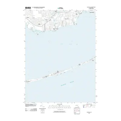
2010 Map of Sayville
USGS Topo · Published 2010About this map
Great South Bay dominates this coastal landscape, separating the mainland South Shore communities of Long Island from the fragile barrier of Fire Island. On the northern shore, the residential patterns of Sayville, Bayport, and Blue Point are clearly defined, showing a transition from the dense street grids around the Sayville Post Office to the waterfront estates and inlets. Multiple small waterways like Green Creek, Brown Creek, and Homans Creek drain into the bay, reflecting the area's maritime geography and recreational heritage.
Find a feature on this map
46 named features on this map. Tap any name to fly to it.
Don’t see what you’re looking for? This feature index may not catch every label — zoom into the map to look around manually.
Map Details
Editions of this 2010 Sayville Map
This is the sole edition of this map. No revisions or reprints were ever made.
Other maps of this area

1902 · Setauket
USGS Topo · 1:62,500

1902 · Fire Island
USGS Topo · 1:62,500

1903 · Fire Island
USGS Topo · 1:62,500

1904 · Setauket
USGS Topo · 1:62,500

1904 · Islip
USGS Topo · 1:125,000

1904 · Moriches
USGS Topo · 1:62,500

1919 · Setauket
USGS Topo · 1:62,500

1942 · Islip
USGS Topo · 1:125,000

1944 · Bay Shore East
USGS Topo · 1:24,000

1947 · Bellport
USGS Topo · 1:24,000