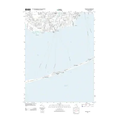
2013 Map of Sayville
USGS Topo · Published 2013About this map
Fire Island and the coastal communities of the South Shore define this 2013 survey of Suffolk County. The geography is dominated by the Great South Bay, which separates the mainland settlements of Sayville, West Sayville, and Bayport from the thin barrier of Great South Beach. This map documents a complex maritime infrastructure, tracing several ferry routes such as Sayville - Fire Island Pines and Patchogue - Davis Park that link the mainland to seasonal enclaves like Cherry Grove and Fire Island Pines. On the mainland, the map details the established suburban fabric around Montauk Hwy, including the grounds of the La Salle Military Academy and local landmarks like Saint Ann's Cem. The presence of numerous named walks on the island, such as Ocean Walk and Dune Walk, illustrates the pedestrian-centric nature of the barrier beach communities.
Find a feature on this map
42 named features on this map. Tap any name to fly to it.
Don’t see what you’re looking for? This feature index may not catch every label — zoom into the map to look around manually.
Map Details
Editions of this 2013 Sayville Map
This is the sole edition of this map. No revisions or reprints were ever made.
Other maps of this area

1902 · Setauket
USGS Topo · 1:62,500

1902 · Fire Island
USGS Topo · 1:62,500

1903 · Fire Island
USGS Topo · 1:62,500

1904 · Setauket
USGS Topo · 1:62,500

1904 · Islip
USGS Topo · 1:125,000

1904 · Moriches
USGS Topo · 1:62,500

1919 · Setauket
USGS Topo · 1:62,500

1942 · Islip
USGS Topo · 1:125,000

1944 · Bay Shore East
USGS Topo · 1:24,000

1947 · Bellport
USGS Topo · 1:24,000