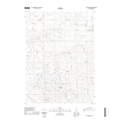
2021 Map of Scales Mound West
USGS Topo · Published 2021About this map
Council Hill and Scales Mound anchor this portion of Jo Daviess County, where the driftless-style terrain of northwest Illinois is defined by the winding E Fork Galena River and deep valleys. The landscape is a corridor of rural history, marked by numerous religious and community landmarks including Miners Chapel Cem, Singers Catholic Cem, and St Johns Lutheran Cem. This map illustrates the intersection of traditional agricultural land and modern recreational development, notably within The Galena Territory. This planned community surrounds the waters of Galena Lake, with its complex network of named ridges and trails such as Cedar Rim Trl and Sugarcreek Trl. In the northern sections, the original settlement patterns remain visible through established family-named roads and sites like Council Hill Cem and Citizens Cem.
Find a feature on this map
97 named features on this map. Tap any name to fly to it.
Don’t see what you’re looking for? This feature index may not catch every label — zoom into the map to look around manually.
Map Details
Editions of this 2021 Scales Mound West Map
This is the sole edition of this map. No revisions or reprints were ever made.
Other maps of this area

1902 · Mineral Point
USGS Topo · 1:125,000

1911 · Elizabeth
USGS Topo · 1:62,500

1911 · Galena
USGS Topo · 1:62,500

1913 · Galena
USGS Topo · 1:62,500

1936 · Elizabeth
USGS Topo · 1:62,500

1952 · Shullsburg
USGS Topo · 1:24,000

1952 · Cuba City
USGS Topo · 1:24,000

1952 · New Diggings
USGS Topo · 1:24,000

1959 · Dubuque
USGS Topo · 1:250,000

1961 · Dubuque
USGS Topo · 1:250,000