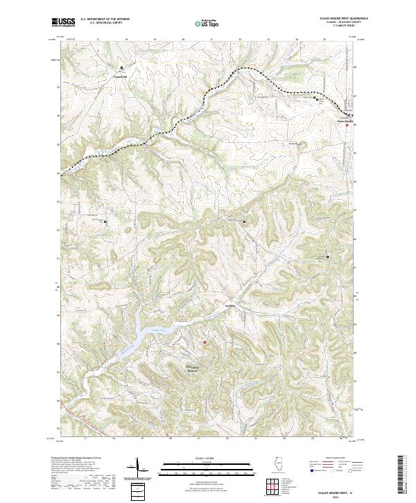
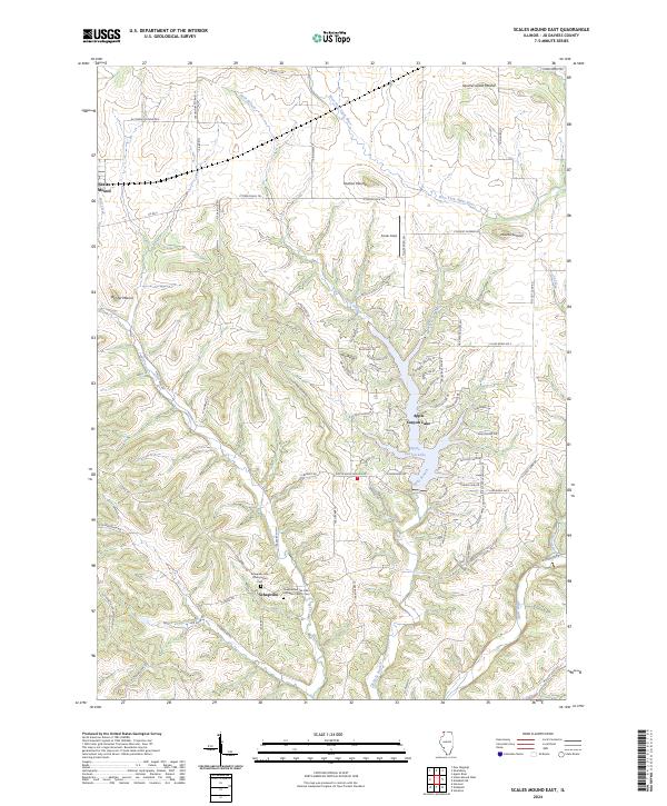
2024 Map of Scales Mound West
USGS Topo · Published 2024About this map
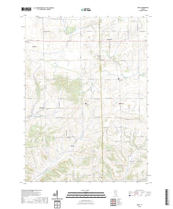
The Galena Territory and its modern resort developments stand in contrast to the deep-rooted mining and farming history of Jo Daviess County. The landscape is defined by the winding East Fork Galena River and the engineered waters of Galena Lake. Long-established settlements like Council Hill and Scales Mound are visible, alongside scattered burial grounds that reflect the area's diverse ethnic and denominational history, including Singers Catholic Cem and Miners Chapel Cem. Small rural nodes like Guilford are situated along Smallpox Creek, illustrating the dispersal of homesteads across the driftless terrain. The concentration of cemeteries, such as Holy Trinity Cem and Saint Johns Lutheran Cem, offers significant research value for those tracing family roots in this corner of northwest Illinois.
Find a feature on this map
96 named features on this map. Tap any name to fly to it.
Don’t see what you’re looking for? This feature index may not catch every label — zoom into the map to look around manually.
Map Details
Editions of this 2024 Scales Mound West Map
This is the sole edition of this map. No revisions or reprints were ever made.
Historical Maps of Council Hill Station Through Time
8 maps found
1968 Elizabeth NE
Jo Daviess County, IL
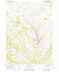
1968 Scales Mound East
Jo Daviess County, IL
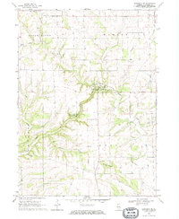
1968 Scales Mound West
Jo Daviess County, IL
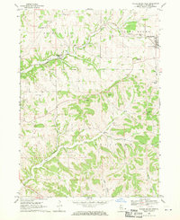
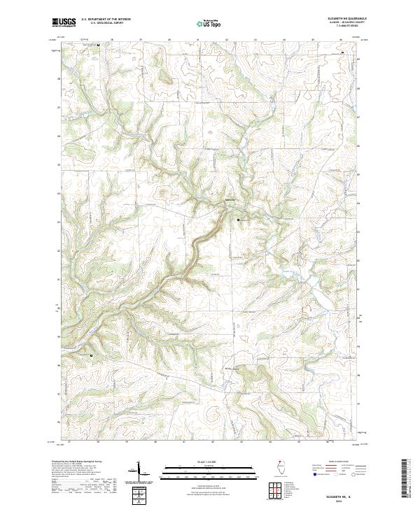
1971 Kent
Jo Daviess County, IL
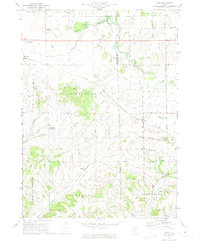
2024 Elizabeth NE
Jo Daviess County, IL
2024 Kent
Jo Daviess County, IL
2024 Scales Mound East
Jo Daviess County, IL
2024 Scales Mound West
Jo Daviess County, IL
Featured Locations
- East Galena Township, IL
- Guilford Township, IL
- Scales Mound, Scales Mound Township
- Council Hill, Council Hill Township
- Guilford, Guilford Township