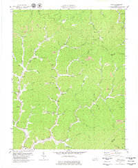
1979 Map of Scalf
USGS Topo · Published 1979About this map
Stinking Creek winds through this Knox County landscape, anchoring a network of narrow valleys and coal-bearing ridges. Small mountain settlements like Scalf, Salt Gum, and Hammond are concentrated along the creek bottoms, reflecting the traditional Appalachian settlement pattern where flat land is at a premium. The social fabric of these communities is evident in the cluster of country churches such as Fellowship Ch and Mill Mission Ch, alongside several family cemeteries scattered across the slopes.
Find a feature on this map
66 named features on this map. Tap any name to fly to it.
Don’t see what you’re looking for? This feature index may not catch every label — zoom into the map to look around manually.
Map Details
Editions of this 1979 Scalf Map
This is the sole edition of this map. No revisions or reprints were ever made.
Other maps of this area

1886 · Cumberland Gap
USGS Topo · 1:125,000

1888 · Cumberland Gap
USGS Topo · 1:125,000

1891 · Manchester
USGS Topo · 1:125,000

1891 · Cumberland Gap
USGS Topo · 1:125,000

1903 · Pineville
USGS Topo · 1:48,000

1952 · Hima
USGS Topo · 1:24,000

1952 · Fount
USGS Topo · 1:24,000
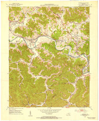
1952 · Artemus
USGS Topo · 1:24,000
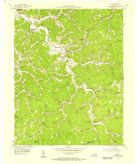
1954 · Ogle
USGS Topo · 1:24,000
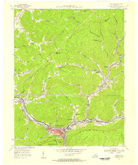
1954 · Pineville
USGS Topo · 1:24,000