Loading...
Loading map...2022 Map of Scandinavia
USGS Topo · Published 2022About this map
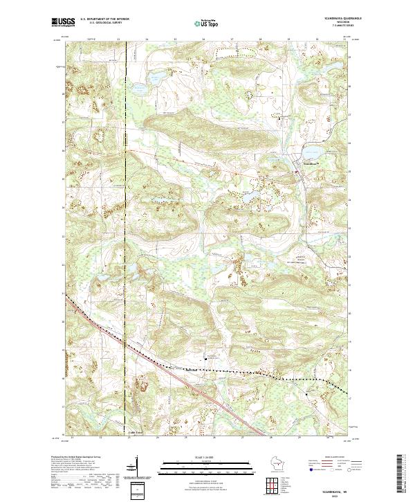
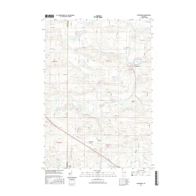
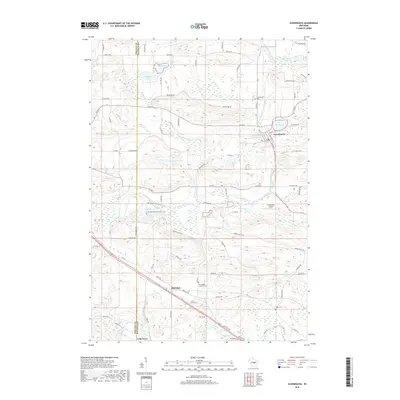
The South Branch Little Wolf River winds through this Central Wisconsin landscape, anchoring the village of Scandinavia near the Scandinavia Millpond. The terrain is characterized by a dense cluster of glacial lakes, including Silver Lake, Johnson Lake, and Marl Lake, which dictate the local road network. Cultural and genealogical markers such as the Farmington Lutheran Cem and Salem Cem provide touchpoints for local history near the settlement of Sheridan.
Find a feature on this map
88 named features on this map. Tap any name to fly to it.
Don’t see what you’re looking for? This feature index may not catch every label — zoom into the map to look around manually.
Map Details
Date Portrayed2022
Date Published2022
PublisherU.S. Geological Survey
Map TypeTopographic
Scale1:24,000
Physical Dimensions24 x 29 inches
Editions of this 2022 Scandinavia Map
This is the sole edition of this map. No revisions or reprints were ever made.
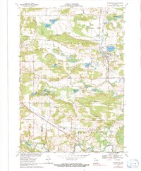
Historical Maps of Scandinavia Through Time
6 maps found
Featured Locations
Source Details
SourceU.S. Geological Survey
CopyrightPublic Domain