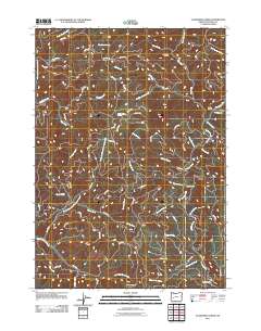
2011 Map of Scaredman Creek
USGS Topo · Published 2011About this map
Scaredman Camp and a network of Bureau of Land Management access roads define this Douglas County landscape in the early 2010s. The area is characterized by a dense drainage system of named creeks, including Zig Zag Creek, Mellow Moon Creek, and Huckleberry Creek, which flow through the timbered terrain. The presence of several remote outposts, such as the Pass Creek Shelter, No Man Shelter, and Trapper Shelter, suggests a region primarily used for forest management, recreation, and seasonal residency. The map provides a detailed view of the local topography and water sources, including the distinct Mellow Moon Spring. The intricate road system, with labels like BLM 28.0 RD and BLM 11 RD, illustrates how this part of the Oregon backcountry is navigated and managed by federal agencies.
Find a feature on this map
66 named features on this map. Tap any name to fly to it.
Don’t see what you’re looking for? This feature index may not catch every label — zoom into the map to look around manually.
Map Details
Editions of this 2011 Scaredman Creek Map
This is the sole edition of this map. No revisions or reprints were ever made.
Other maps of this area

1935 · Lowell
USGS Topo · 1:96,000

1942 · Lowell
USGS Topo · 1:125,000

1955 · Mace Mtn
USGS Topo · 1:62,500

1955 · Illahee Rock
USGS Topo · 1:62,500

1955 · Fairview Peak
USGS Topo · 1:62,500

1955 · Culp Creek
USGS Topo · 1:62,500

1958 · Roseburg
USGS Topo · 1:250,000

1959 · Roseburg
USGS Topo · 1:250,000

1978 · Diamond Lake
USGS Topo · 1:100,000

1983 · Oakridge
USGS Topo · 1:100,000