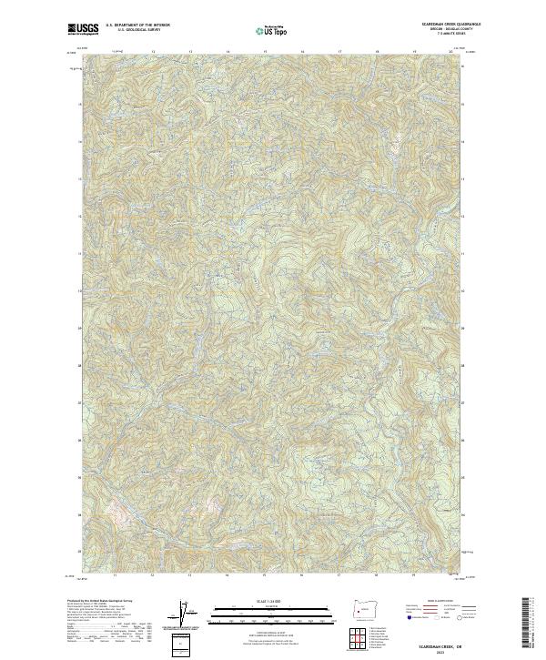
2023 Map of Scaredman Creek
USGS Topo · Published 2023About this map
Calapooia Divide marks the northern boundary of this high-elevation Douglas County landscape, where an intricate network of Bureau of Land Management routes provides access to the dense drainage basins of the Umpqua National Forest area. The terrain is defined by prominent ridgelines including Black Jack Rdg, Zig Zag Rdg, and Lost Bucket Rdg, which separate the headwaters of numerous waterways such as Mellow Moon Creek and Scaredman Creek. These water systems are punctuated by notable landmarks like Grizzly Cr Fls and Mellow Moon Spring. The cartography reveals a modern landscape of forest management and recreation, evidenced by numerous designated spots like Scaredman Sp and Bluff Cr Sp. The southern portion of the sheet is dominated by the tributaries of the East Fork Rock Creek, while Canton Creek Rd serves as a primary artery through the eastern canyons.
Find a feature on this map
90 named features on this map. Tap any name to fly to it.
Don’t see what you’re looking for? This feature index may not catch every label — zoom into the map to look around manually.
Map Details
Editions of this 2023 Scaredman Creek Map
This is the sole edition of this map. No revisions or reprints were ever made.
Other maps of this area

1935 · Lowell
USGS Topo · 1:96,000

1942 · Lowell
USGS Topo · 1:125,000

1955 · Mace Mtn
USGS Topo · 1:62,500

1955 · Illahee Rock
USGS Topo · 1:62,500

1955 · Fairview Peak
USGS Topo · 1:62,500

1955 · Culp Creek
USGS Topo · 1:62,500

1958 · Roseburg
USGS Topo · 1:250,000

1959 · Roseburg
USGS Topo · 1:250,000

1978 · Diamond Lake
USGS Topo · 1:100,000

1983 · Oakridge
USGS Topo · 1:100,000