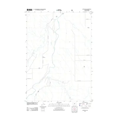
2012 Map of Scenic SW
USGS Topo · Published 2012About this map
The Cheyenne River carves a central path through this western South Dakota landscape, defining the topography of this rural stretch of Pennington County. The map reveals a high-tableland environment where distinct geographic features like Hart Table and Phiney Flat stand above the drainage basins. Water management and drainage are central to the area's character, with Spring Cr, Indian Cr, and several seasonal draws like Ralph Draw and Cole Draw feeding into the main river system.
Find a feature on this map
16 named features on this map. Tap any name to fly to it.
Don’t see what you’re looking for? This feature index may not catch every label — zoom into the map to look around manually.
Map Details
Editions of this 2012 Scenic SW Map
This is the sole edition of this map. No revisions or reprints were ever made.
Other maps of this area

1950 · Sheep Mountain Table
USGS Topo · 1:24,000

1951 · Heutmacher Table
USGS Topo · 1:24,000

1951 · Red Shirt NE
USGS Topo · 1:24,000

1953 · Folsom
USGS Topo · 1:24,000

1953 · Caputa NE
USGS Topo · 1:24,000

1954 · Scenic
USGS Topo · 1:24,000

1954 · Creston
USGS Topo · 1:24,000

1954 · Scenic SW
USGS Topo · 1:24,000

1954 · Brennan Flat
USGS Topo · 1:24,000

1955 · Hot Springs
USGS Topo · 1:250,000