2017 Map of Scenic SW
USGS Topo · Published 2017About this map
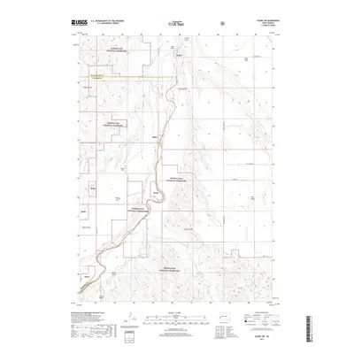
Buffalo Gap National Grassland dominates this corner of Pennington and Custer Counties, preserving a landscape defined by the high plateaus of Kube Table and Hart Table. The Cheyenne River snakes through the center of the sheet, its course fed by seasonal drainages like Spring Cr and Indian Cr. This 2017 survey illustrates the sparse, ranching-oriented infrastructure of the region, where gravel routes such as Co Hwy 121 and Indian Creek Rd provide the primary access to cattle country. Notable landmarks for local history include Brown Field and several distinct geological flats like Phiney Flat. The map effectively documents the intersection of public grasslands and private landholdings, revealing the unique topography of the draws, such as Cole Draw and Ralph Draw, that carve through the high tablelands.
Find a feature on this map
25 named features on this map. Tap any name to fly to it.
Don’t see what you’re looking for? This feature index may not catch every label — zoom into the map to look around manually.
Map Details
Editions of this 2017 Scenic SW Map
This is the sole edition of this map. No revisions or reprints were ever made.
Other maps of this area

1950 · Sheep Mountain Table
USGS Topo · 1:24,000

1951 · Heutmacher Table
USGS Topo · 1:24,000

1951 · Red Shirt NE
USGS Topo · 1:24,000

1953 · Folsom
USGS Topo · 1:24,000

1953 · Caputa NE
USGS Topo · 1:24,000

1954 · Scenic
USGS Topo · 1:24,000

1954 · Creston
USGS Topo · 1:24,000

1954 · Scenic SW
USGS Topo · 1:24,000

1954 · Brennan Flat
USGS Topo · 1:24,000

1955 · Hot Springs
USGS Topo · 1:250,000