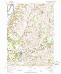
1954 Map of Schaghticoke
USGS Topo · Published 1985About this map
The Hoosic River carves a winding path through Rensselaer County, anchoring the industrial and civic life of mid-century Schaghticoke and Valley Falls. This 1954 field-checked survey reveals a landscape where water power and rail transport remained central to the local economy, evidenced by the Hydroelectric Station near the river's bend and the Boston and Maine railroad line connecting the riverfront settlements.
Find a feature on this map
38 named features on this map. Tap any name to fly to it.
Don’t see what you’re looking for? This feature index may not catch every label — zoom into the map to look around manually.
Map Details
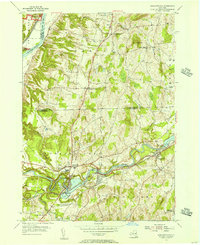
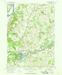
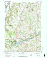
Editions of this 1954 Schaghticoke Map
4 editions found
Other maps of this area

1893 · Cohoes
USGS Topo · 1:62,500

1895 · Cohoes
USGS Topo · 1:62,500

1895 · Cambridge
USGS Topo · 1:62,500

1897 · Hoosick
USGS Topo · 1:62,500

1898 · Cambridge
USGS Topo · 1:62,500

1898 · Cohoes
USGS Topo · 1:62,500

1900 · Taconic
USGS Topo · 1:125,000

1900 · Schuylerville
USGS Topo · 1:62,500

1901 · Cambridge
USGS Topo · 1:62,500

1903 · Mettawee
USGS Topo · 1:125,000