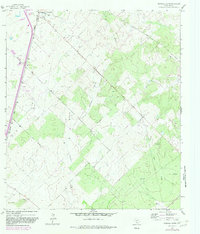
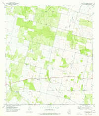
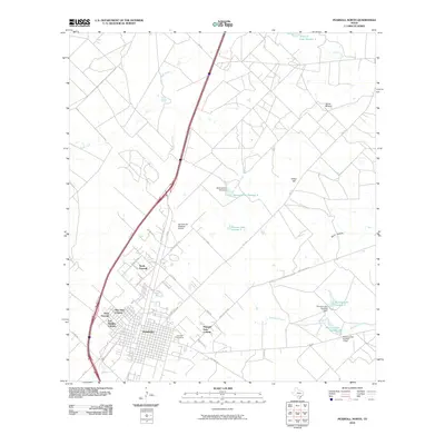
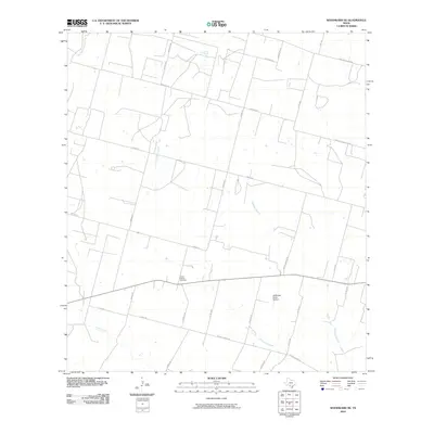
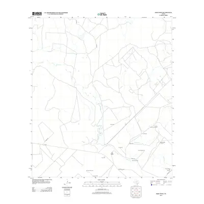
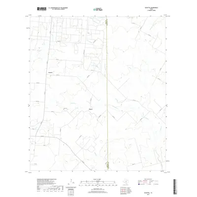
1934 Map of Schattel
USGS Topo · Published 1956About this map
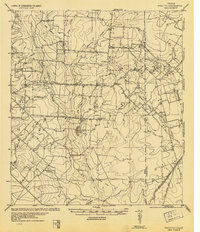
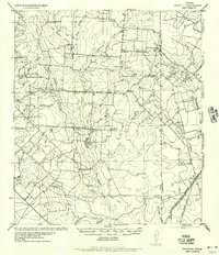
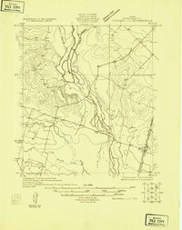
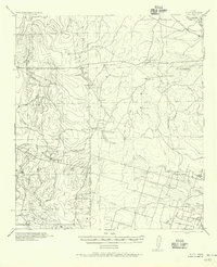
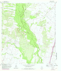
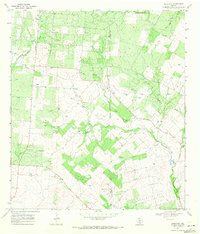
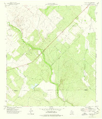
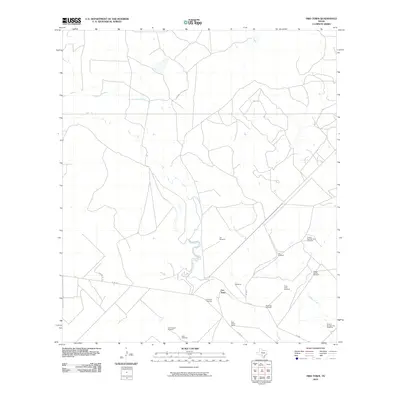
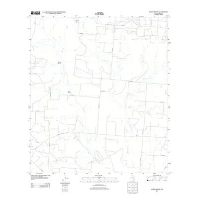
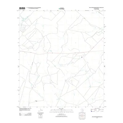
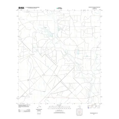
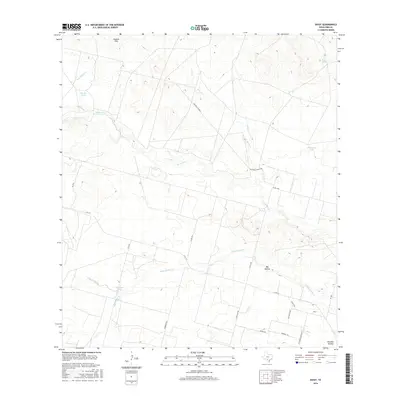
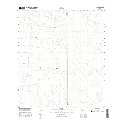
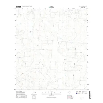
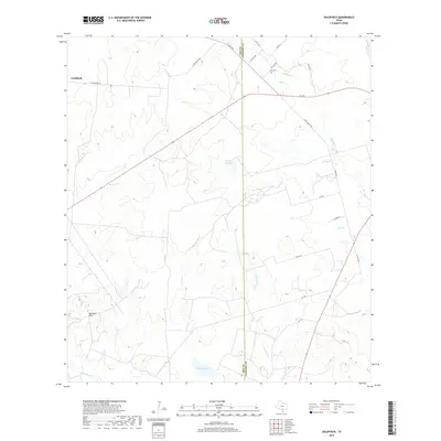
Schattel and the surrounding ranchlands of Frio and Atascosa counties are captured here in a transition from the early reconnaissance of 1909 to the revised 1934 tactical data. The landscape is defined by the dendritic drainage of San Miguel Creek and Elm Creek, which supported a network of isolated rural schools such as Sand Hollow School, Fisher School, and Shallow Wells School. The importance of water in this semi-arid region is evident through the notation of various Artesian Wells and the namesake Sand Hollow feature. Infrastructure is dominated by the San Antonio Uvalde and Gulf RR and the Mo Pac RR, which facilitated the movement of cattle and goods from sites like Goldfinch and Keystone Ranch. This map provides a clear view of the dispersed settlement patterns and early transportation corridors that shaped South Texas ranching before modern highway development.
Find a feature on this map
36 named features on this map. Tap any name to fly to it.
Don’t see what you’re looking for? This feature index may not catch every label — zoom into the map to look around manually.
Map Details
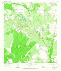
Editions of this 1934 Schattel Map
2 editions found
Historical Maps of Schattel Through Time
107 maps found

1925 Pearsall 1-b
Frio County, TX
1925 Pearsall 1-c
Frio County, TX
1934 Schattel
Frio County, TX

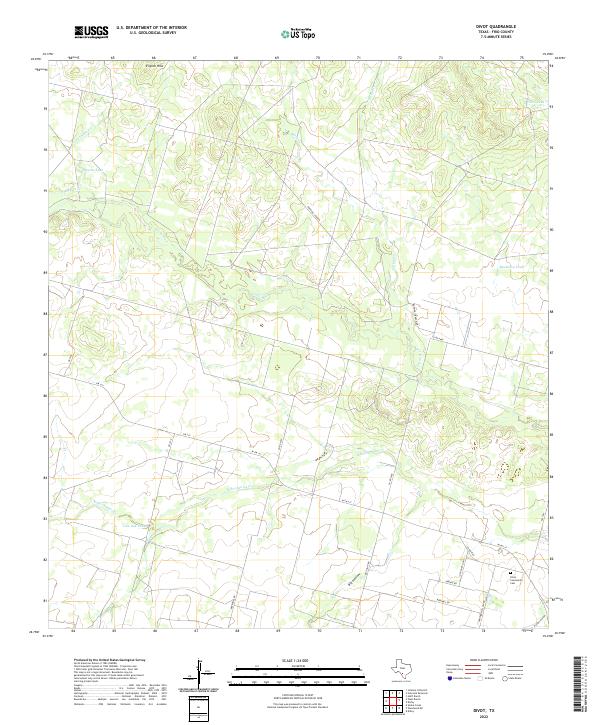
1942 Divot
Frio County, TX
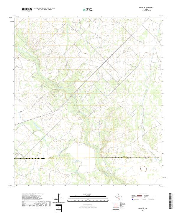
1956 Divot
Frio County, TX
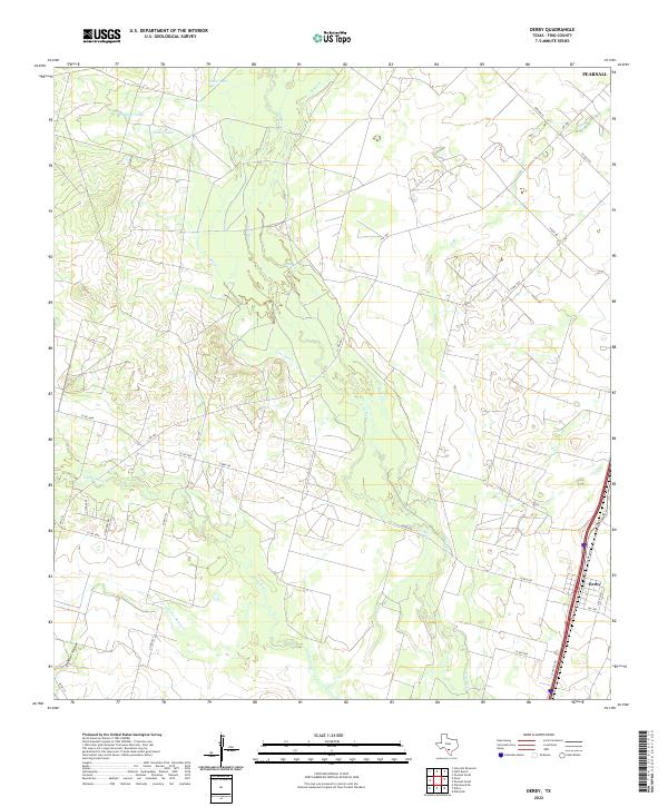
1964 Derby
Frio County, TX
1964 Ghost Hill
Frio County, TX
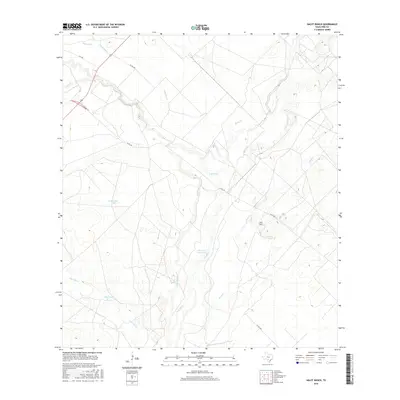
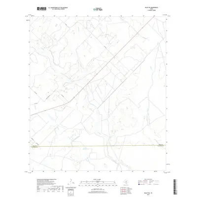
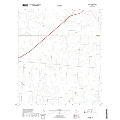
1964 Halff Ranch
Frio County, TX
1964 Pearsall North
Frio County, TX
1964 Pearsall South
Frio County, TX
1964 Wilson Ranch
Frio County, TX
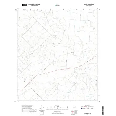
1968 Goldfinch
Frio County, TX
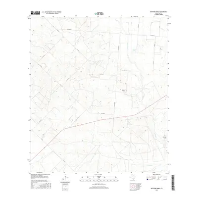
1968 Keystone Ranch
Frio County, TX
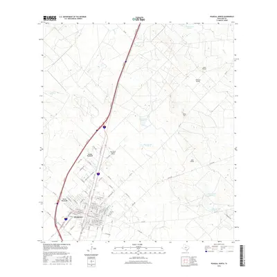
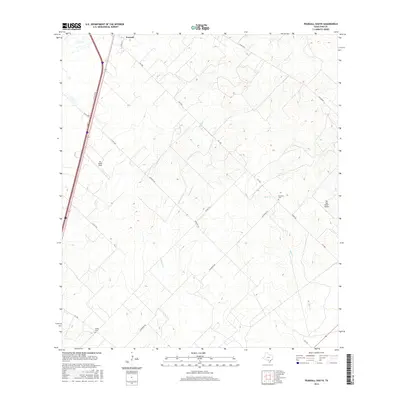
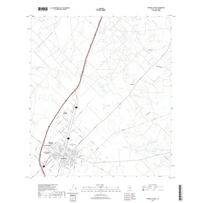
1968 Schattel
Frio County, TX
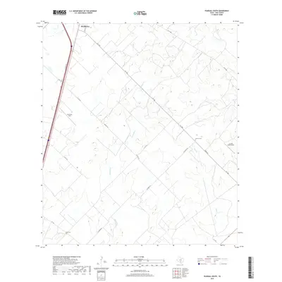
1968 Schattel NW
Frio County, TX
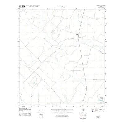
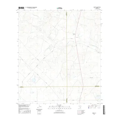
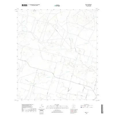
1969 Hindes
Frio County, TX
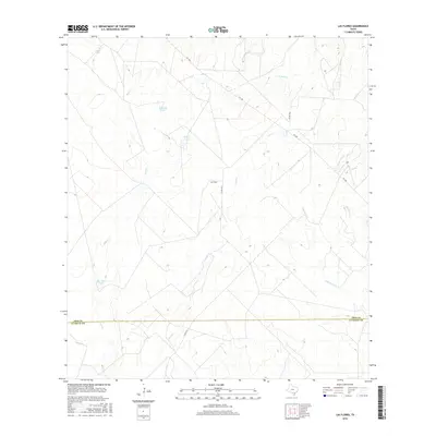
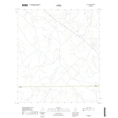
1969 Las Flores
Frio County, TX
1974 Dilley NE
Frio County, TX
1974 Divot
Frio County, TX
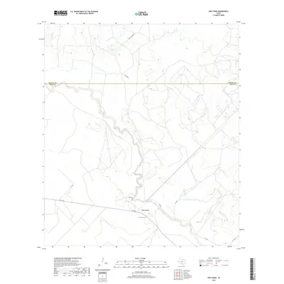
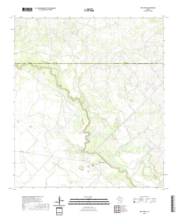
1974 Frio Town
Frio County, TX
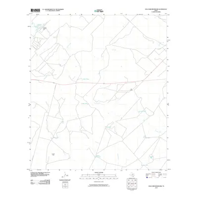
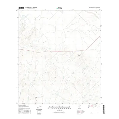
1974 Holcomb Reservoir
Frio County, TX
1974 Woodward NE
Frio County, TX
2010 Derby
Frio County, TX
2010 Dilley NE
Frio County, TX
2010 Divot
Frio County, TX
2010 Frio Town
Frio County, TX
2010 Ghost Hill
Frio County, TX
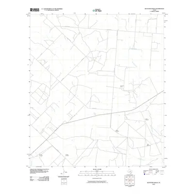
2010 Goldfinch
Frio County, TX
2010 Halff Ranch
Frio County, TX
2010 Hindes
Frio County, TX
2010 Holcomb Reservoir
Frio County, TX
2010 Keystone Ranch
Frio County, TX
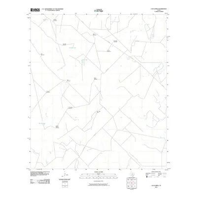
2010 Las Flores
Frio County, TX
2010 Pearsall North
Frio County, TX

2010 Pearsall South
Frio County, TX
2010 Schattel
Frio County, TX
2010 Schattel NW
Frio County, TX
2010 Wilson Ranch
Frio County, TX
2010 Woodward NE
Frio County, TX
2012 Goldfinch
Frio County, TX
2012 Keystone Ranch
Frio County, TX
2012 Schattel
Frio County, TX
2012 Schattel NW
Frio County, TX
2013 Derby
Frio County, TX
2013 Dilley NE
Frio County, TX
2013 Divot
Frio County, TX
2013 Frio Town
Frio County, TX
2013 Ghost Hill
Frio County, TX
2013 Halff Ranch
Frio County, TX
2013 Hindes
Frio County, TX
2013 Holcomb Reservoir
Frio County, TX
2013 Las Flores
Frio County, TX
2013 Pearsall North
Frio County, TX
2013 Pearsall South
Frio County, TX
2013 Wilson Ranch
Frio County, TX
2013 Woodward NE
Frio County, TX
2016 Derby
Frio County, TX
2016 Dilley NE
Frio County, TX
2016 Divot
Frio County, TX
2016 Frio Town
Frio County, TX
2016 Ghost Hill
Frio County, TX
2016 Goldfinch
Frio County, TX
2016 Halff Ranch
Frio County, TX
2016 Hindes
Frio County, TX
2016 Holcomb Reservoir
Frio County, TX
2016 Keystone Ranch
Frio County, TX
2016 Las Flores
Frio County, TX
2016 Pearsall North
Frio County, TX
2016 Pearsall South
Frio County, TX
2016 Schattel
Frio County, TX
2016 Schattel NW
Frio County, TX
2016 Wilson Ranch
Frio County, TX
2016 Woodward NE
Frio County, TX
2019 Derby
Frio County, TX
2019 Dilley NE
Frio County, TX
2019 Divot
Frio County, TX
2019 Frio Town
Frio County, TX
2019 Ghost Hill
Frio County, TX
2019 Goldfinch
Frio County, TX
2019 Halff Ranch
Frio County, TX
2019 Hindes
Frio County, TX
2019 Holcomb Reservoir
Frio County, TX
2019 Keystone Ranch
Frio County, TX
2019 Las Flores
Frio County, TX
2019 Pearsall North
Frio County, TX
2019 Pearsall South
Frio County, TX
2019 Schattel
Frio County, TX
2019 Schattel NW
Frio County, TX
2019 Wilson Ranch
Frio County, TX
2019 Woodward NE
Frio County, TX
2022 Derby
Frio County, TX
2022 Dilley NE
Frio County, TX
2022 Divot
Frio County, TX
2022 Frio Town
Frio County, TX
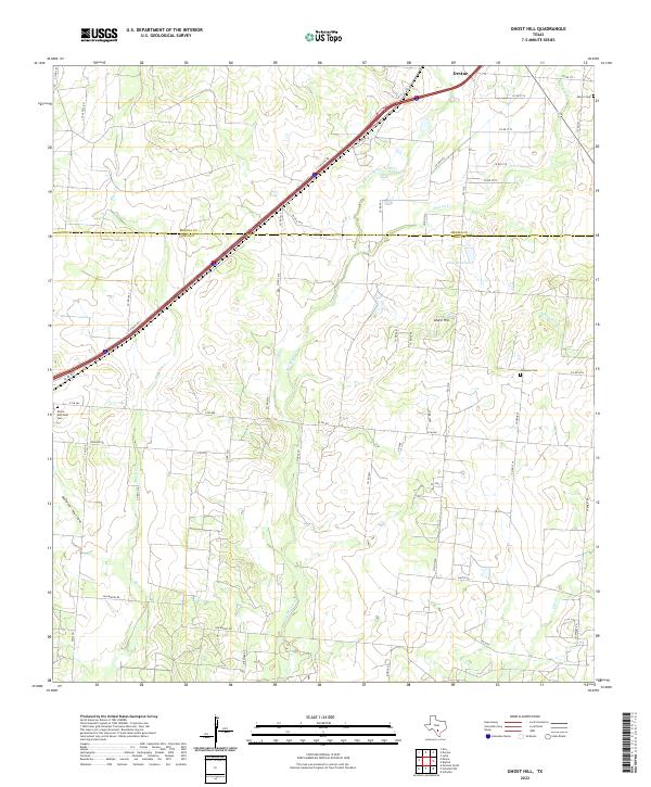
2022 Ghost Hill
Frio County, TX
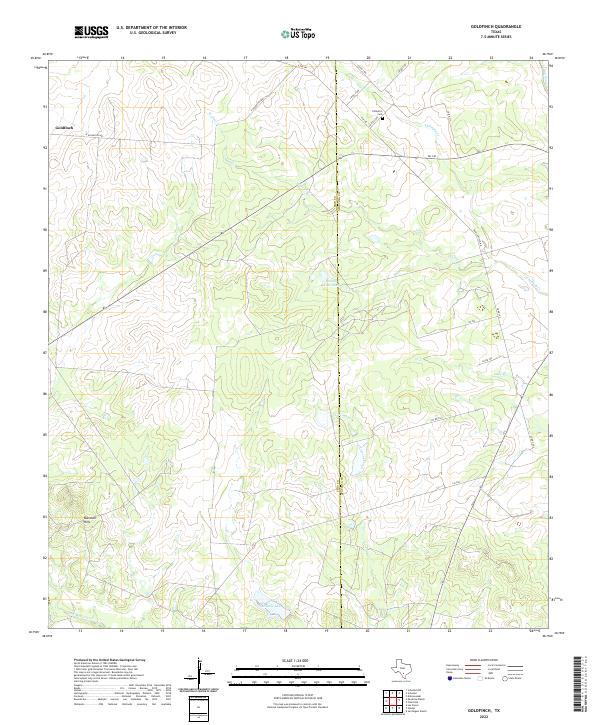
2022 Goldfinch
Frio County, TX
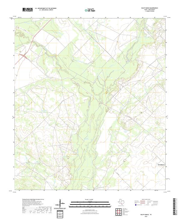
2022 Halff Ranch
Frio County, TX
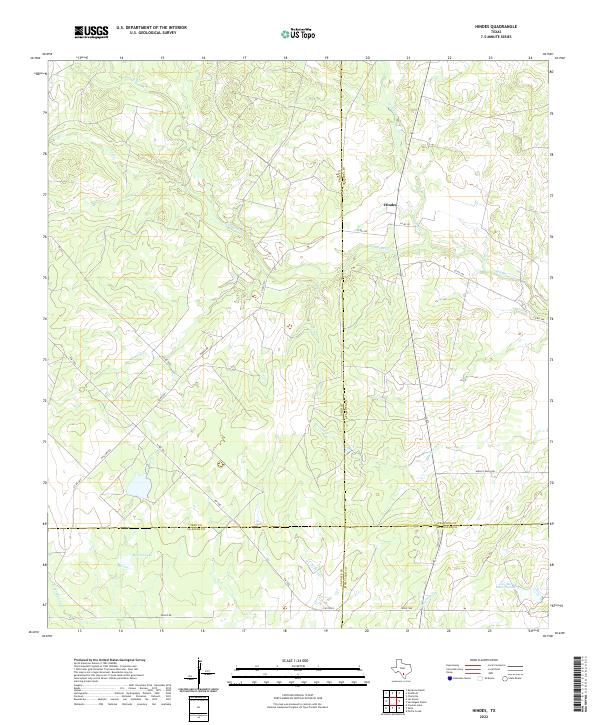
2022 Hindes
Frio County, TX
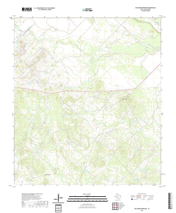
2022 Holcomb Reservoir
Frio County, TX
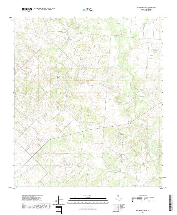
2022 Keystone Ranch
Frio County, TX

2022 Las Flores
Frio County, TX
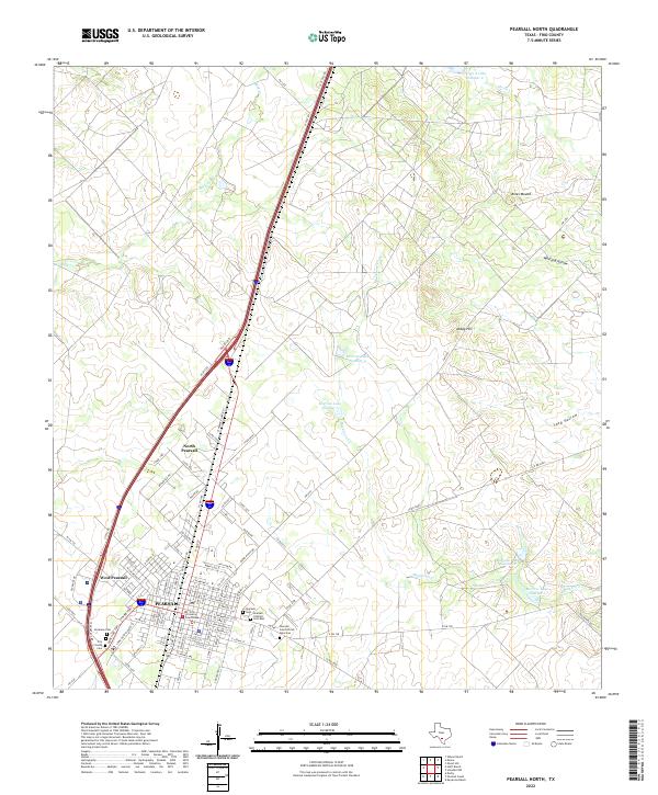
2022 Pearsall North
Frio County, TX
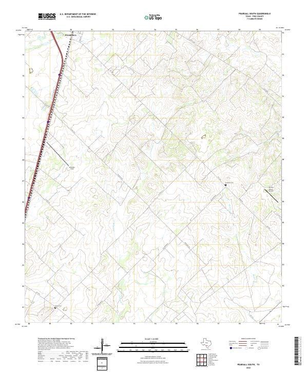
2022 Pearsall South
Frio County, TX
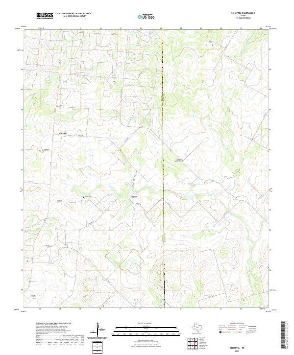
2022 Schattel
Frio County, TX
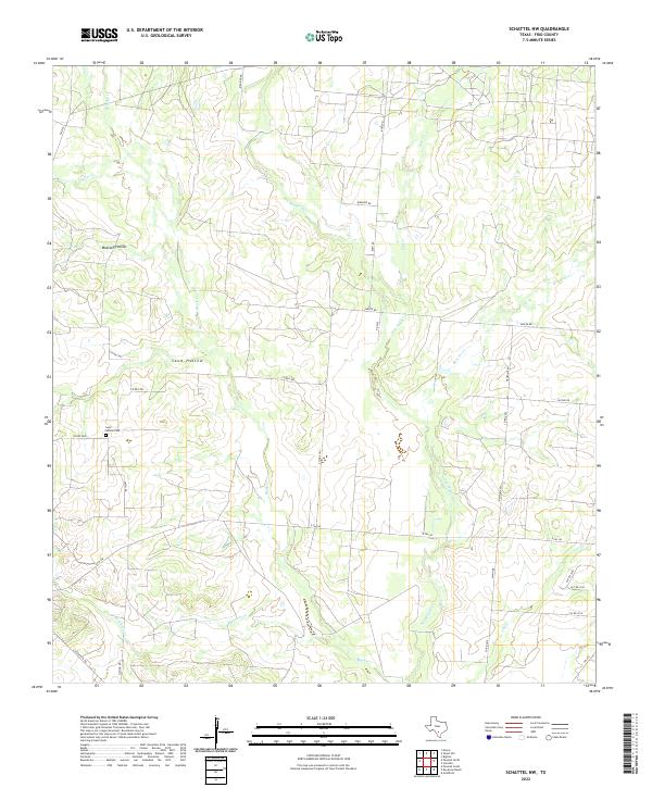
2022 Schattel NW
Frio County, TX
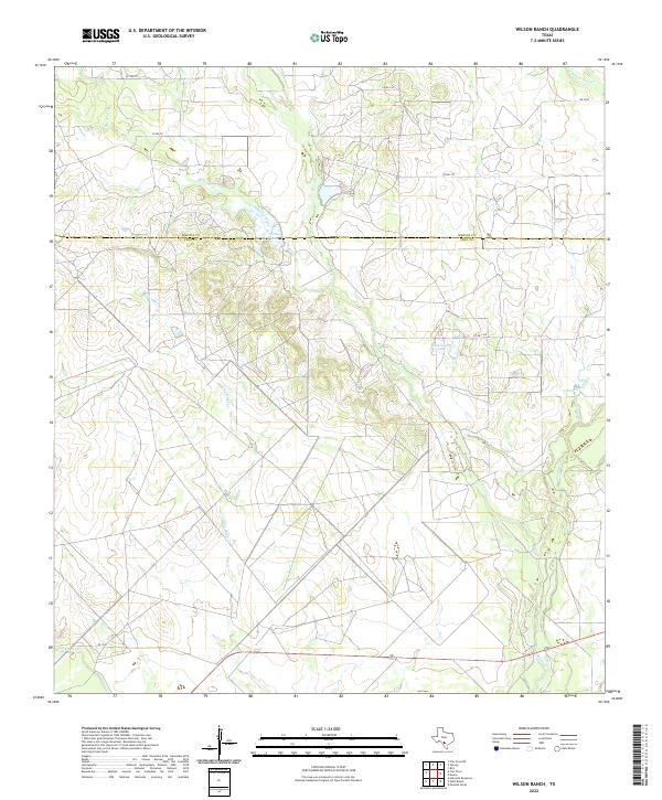
2022 Wilson Ranch
Frio County, TX
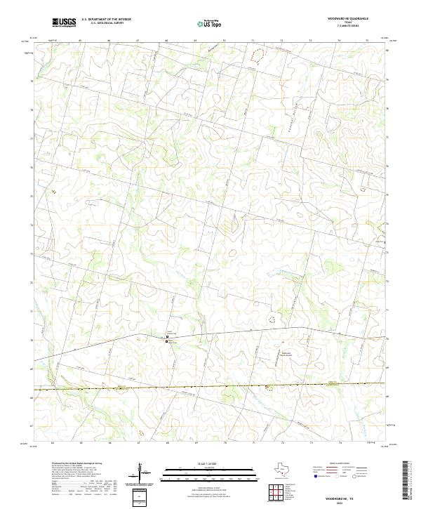
2022 Woodward NE
Frio County, TX