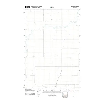
2011 Map of Schefield
USGS Topo · Published 2011About this map
Schefield sits at the junction of 51st St SW and 114th Ave SW in a landscape defined by the rigid grid of the North Dakota section lines. This rural pocket of Stark County is bisected by the meandering course of Antelope Creek, which winds its way eastward across the northern half of the survey. The terrain is dominated by agricultural development, with an extensive network of range and township roads such as 46th St SW and 113th Ave SW providing access to local farms. One notable exception to the agrarian pattern is the Tri State Speedway, located just south of the creek near 111th Ave SW, serving as a recreational landmark in this sparsely populated prairie region.
Find a feature on this map
19 named features on this map. Tap any name to fly to it.
Don’t see what you’re looking for? This feature index may not catch every label — zoom into the map to look around manually.
Map Details
Editions of this 2011 Schefield Map
This is the sole edition of this map. No revisions or reprints were ever made.
Other maps of this area

1953 · Dickinson
USGS Topo · 1:250,000

1957 · Dickinson
USGS Topo · 1:250,000

1959 · Dickinson South
USGS Topo · 1:24,000

1959 · Lehigh
USGS Topo · 1:24,000

1973 · Lefor NW
USGS Topo · 1:24,000

1973 · New England NW
USGS Topo · 1:24,000

1973 · New England
USGS Topo · 1:24,000

1973 · Lefor SW
USGS Topo · 1:24,000

1973 · Schefield
USGS Topo · 1:24,000

1973 · New England SW
USGS Topo · 1:24,000