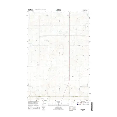
2014 Map of Schefield
USGS Topo · Published 2014About this map
The settlement of Schefield sits at the center of this 2014 survey, marking a quiet agricultural pocket on the high plains of North Dakota. This section of the state is characterized by a precise grid of rural roads, such as 115th Ave SW and 51st St SW, which partition the landscape for wheat and livestock production. The terrain is subtly drained by the winding course of Antelope Cr, which meanders across the upper half of the sheet, providing a natural contrast to the rigid geometry of the section lines. Along the southern edge, the map documents the administrative boundary between Stark Co and Hettinger Co, a line traced by 54th St SW. The sparse distribution of buildings and the concentration of features around the lone hamlet reflect the enduring homesteading patterns and the isolated, communal nature of life in the southwestern corner of the state.
Find a feature on this map
20 named features on this map. Tap any name to fly to it.
Don’t see what you’re looking for? This feature index may not catch every label — zoom into the map to look around manually.
Map Details
Editions of this 2014 Schefield Map
This is the sole edition of this map. No revisions or reprints were ever made.
Other maps of this area

1953 · Dickinson
USGS Topo · 1:250,000

1957 · Dickinson
USGS Topo · 1:250,000

1959 · Dickinson South
USGS Topo · 1:24,000

1959 · Lehigh
USGS Topo · 1:24,000

1973 · Lefor NW
USGS Topo · 1:24,000

1973 · New England NW
USGS Topo · 1:24,000

1973 · New England
USGS Topo · 1:24,000

1973 · Lefor SW
USGS Topo · 1:24,000

1973 · Schefield
USGS Topo · 1:24,000

1973 · New England SW
USGS Topo · 1:24,000