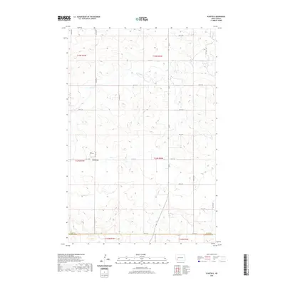
2020 Map of Schefield
USGS Topo · Published 2020About this map
Schefield anchors this prairie landscape in the southwest corner of Stark County, serving as a primary point of interest for genealogists and local historians. The map documents the rural character of the region, featuring the Saint Plus Cem just north of the town site along 114th Ave SW. This area of North Dakota is defined by its wide drainage basins, most notably the winding path of Antelope Cr which meanders through the northern townships. The survey precisely captures the transition between Stark Co and Hettinger Co at the southern edge, illustrating the section lines and township grids that dictate the layout of the local road network, including primary corridors like Main S.
Find a feature on this map
26 named features on this map. Tap any name to fly to it.
Don’t see what you’re looking for? This feature index may not catch every label — zoom into the map to look around manually.
Map Details
Editions of this 2020 Schefield Map
This is the sole edition of this map. No revisions or reprints were ever made.
Other maps of this area

1953 · Dickinson
USGS Topo · 1:250,000

1957 · Dickinson
USGS Topo · 1:250,000

1959 · Dickinson South
USGS Topo · 1:24,000

1959 · Lehigh
USGS Topo · 1:24,000

1973 · Lefor NW
USGS Topo · 1:24,000

1973 · New England NW
USGS Topo · 1:24,000

1973 · New England
USGS Topo · 1:24,000

1973 · Lefor SW
USGS Topo · 1:24,000

1973 · Schefield
USGS Topo · 1:24,000

1973 · New England SW
USGS Topo · 1:24,000