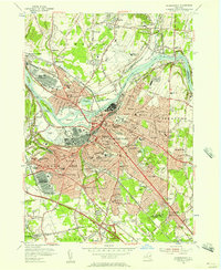
1954 Map of Schenectady
USGS Topo · Published 1957About this map
The Mohawk River and the historic Erie Canal corridor define the industrial and residential heart of this region in the mid-1950s. The map documents a heavily militarized landscape during the early Cold War, featuring the U S Naval Res Scotia Naval Supply Depot and specialized facilities like the U S Mil Res Niskayuna Modification and Test Plant. Growth is evident in the dense street grids of Schenectady and its surrounding suburbs, from the hilltop neighborhood of Mount Pleasant to the sprawling rail yards in Rotterdam.
Find a feature on this map
119 named features on this map. Tap any name to fly to it.
Don’t see what you’re looking for? This feature index may not catch every label — zoom into the map to look around manually.
Map Details
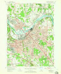
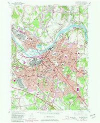
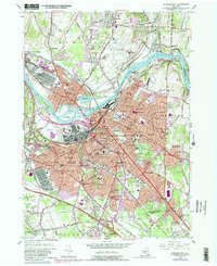
Editions of this 1954 Schenectady Map
4 editions found
Other maps of this area

1893 · Schenectady
USGS Topo · 1:62,500

1893 · Albany
USGS Topo · 1:62,500

1895 · Albany
USGS Topo · 1:62,500

1895 · Schenectady
USGS Topo · 1:62,500

1895 · Amsterdam
USGS Topo · 1:62,500

1898 · Schenectady
USGS Topo · 1:62,500

1898 · Albany
USGS Topo · 1:62,500

1900 · Berne
USGS Topo · 1:62,500

1903 · Berne
USGS Topo · 1:62,500

1927 · Albany
USGS Topo · 1:62,500