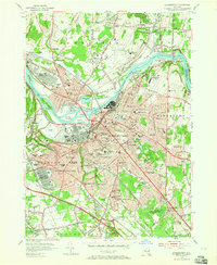
1954 Map of Schenectady
USGS Topo · Published 1965About this map
The Mohawk River and the historical corridor of the Erie Canal anchor this mid-century view of eastern New York's industrial heart. The landscape is defined by its deep military and transport infrastructure, featuring the sprawling Scotia Naval Supply Depot and the Schenectady General Depot, which reflect the region's importance as a logistics hub following the war years. Dense urban development in Schenectady gives way to suburbs like Scotia, Mayfair, and Niskayuna, where a remarkably dense network of neighborhood schools like Nott Terrace High Sch and Washington Irving Jr High Sch served a growing population.
Find a feature on this map
113 named features on this map. Tap any name to fly to it.
Don’t see what you’re looking for? This feature index may not catch every label — zoom into the map to look around manually.
Map Details
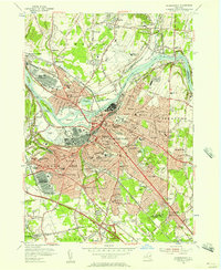
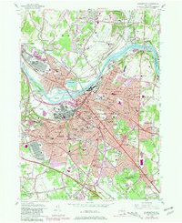
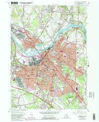
Editions of this 1954 Schenectady Map
4 editions found
Other maps of this area

1893 · Schenectady
USGS Topo · 1:62,500

1893 · Albany
USGS Topo · 1:62,500

1895 · Albany
USGS Topo · 1:62,500

1895 · Schenectady
USGS Topo · 1:62,500

1895 · Amsterdam
USGS Topo · 1:62,500

1898 · Schenectady
USGS Topo · 1:62,500

1898 · Albany
USGS Topo · 1:62,500

1900 · Berne
USGS Topo · 1:62,500

1903 · Berne
USGS Topo · 1:62,500

1927 · Albany
USGS Topo · 1:62,500