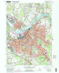
1954 Map of Schenectady
USGS Topo · Published 1981About this map
The Mohawk River serves as the central artery for this industrial and residential landscape, flanked by the sprawling urban footprints of Schenectady and Scotia. In the mid-1950s, the river is dotted with islands named for the Five Nations, including the Isle of the Oneidas and Isle of the Mohawks, while the historic Erie Canal remains a prominent feature of the corridor. The map documents the city's mid-century educational and medical infrastructure, from the Mt Pleasant High Sch and Washington Irving Jr High Sch to Ellis Hospital and the St Clares Hospital. Military and logistics presence is highlighted by the US Naval Res Scotia Naval Supply Depot and the Air National Guard facility at the Schenectady County Airport. The transition toward modern transportation is evident as the New York State Thruway cuts through the southern townships near South Schenectady.
Find a feature on this map
91 named features on this map. Tap any name to fly to it.
Don’t see what you’re looking for? This feature index may not catch every label — zoom into the map to look around manually.
Map Details
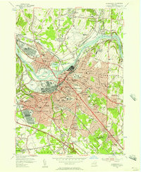
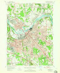
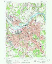
Editions of this 1954 Schenectady Map
4 editions found
Other maps of this area

1893 · Schenectady
USGS Topo · 1:62,500

1893 · Albany
USGS Topo · 1:62,500

1895 · Albany
USGS Topo · 1:62,500

1895 · Schenectady
USGS Topo · 1:62,500

1895 · Amsterdam
USGS Topo · 1:62,500

1898 · Schenectady
USGS Topo · 1:62,500

1898 · Albany
USGS Topo · 1:62,500

1900 · Berne
USGS Topo · 1:62,500

1903 · Berne
USGS Topo · 1:62,500

1927 · Albany
USGS Topo · 1:62,500